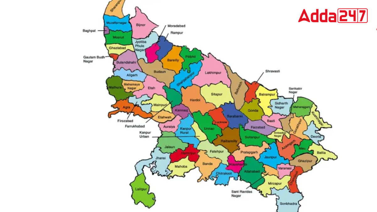
Uttar Pradesh is a state in India known for its rich cultural heritage and large population. It is the fourth-largest state in India, covering 240,928 square kilometers. Each district in Uttar Pradesh has a headquarters that manages the administrative functions of the district. Usually, the headquarters share the same name as the district, but there are exceptions. This article will explore those districts whose headquarters have different names.
Total Districts in Uttar Pradesh
Uttar Pradesh is divided into 75 districts, which are grouped into 18 divisions. These divisions are further categorized into four administrative zones. The state also has 75 district councils, over 58,000 village councils, 200 municipal councils, 17 municipal corporations, 351 tehsils, 826 community development blocks, 915 towns, and over 100,000 villages.
Largest and Smallest Districts
- Largest District: Lakhimpur Kheri, with an area of 7,680 square kilometers.
- Smallest District: Hapur, with an area of 660 square kilometers.
Districts by Geographical Location
- Easternmost District: Ballia
- Northernmost District: Saharanpur
- Southernmost District: Sonbhadra
- Westernmost District: Shamli
Districts of Uttar Pradesh and Their Headquarters
Here is a list of districts in Uttar Pradesh whose headquarters have different names:
| District | Headquarters |
| Amethi | Gauriganj |
| Sant Kabir Nagar | Khalilabad |
| Kaushambi | Manjhanpur |
| Ambedkar Nagar | Akbarpur |
| Kushinagar | Padrauna |
| Kanpur Dehat | Akbarpur Mati |
| Siddharth Nagar | Naugarh |
| Sonbhadra | Robertsganj |
| Jalaun | Orai |
| Farrukhabad | Fatehgarh |
| Sambhal | Bahjoi |


 Which Glacier is known as the 8th Wonder...
 Which Country is the Largest Producer of...
 Which District is known as the Medical C...


