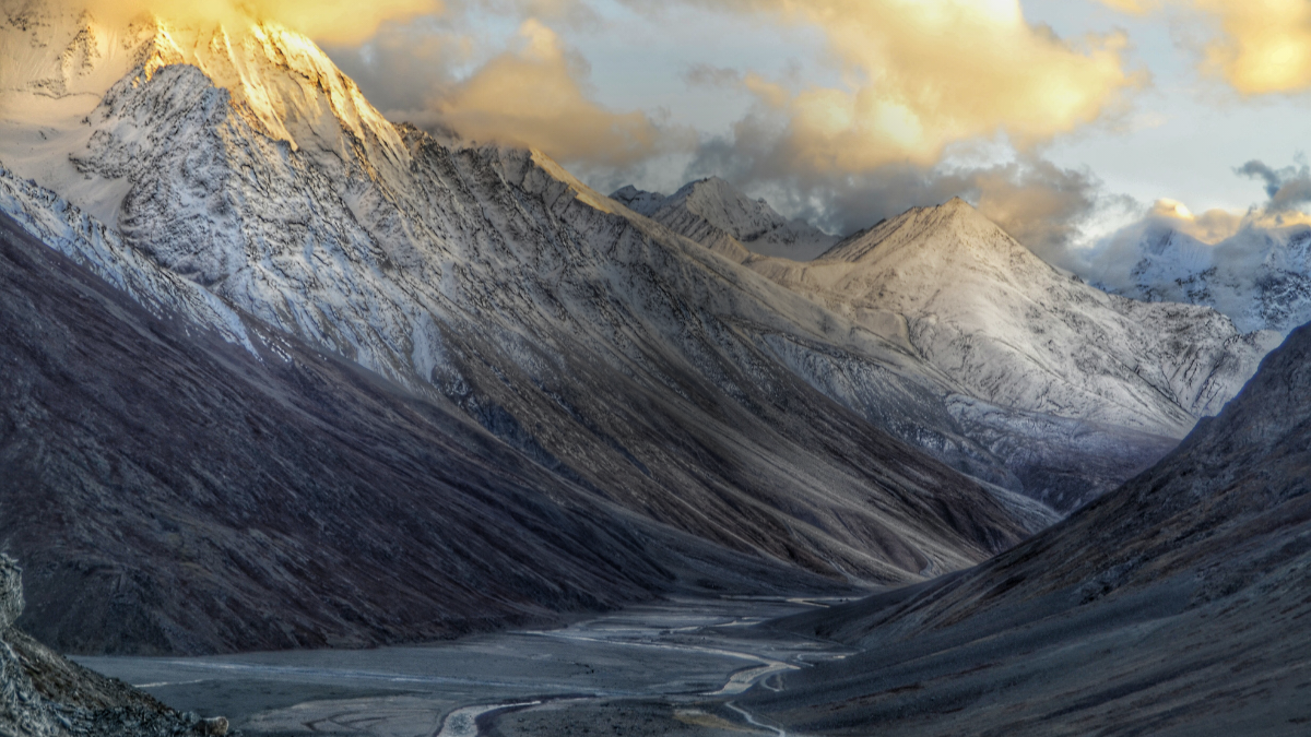
India, a land of diverse landscapes and majestic mountains, is home to some of the highest peaks in the world. These towering summits are not only geographical landmarks but also hold significant cultural and historical importance. To test your knowledge about these magnificent peaks, here’s a comprehensive quiz that covers the highest peaks in India. This quiz is designed to challenge enthusiasts and help you learn more about India’s incredible mountainous terrain.
GK Quiz on Highest Peaks in India
Explore the heights of your knowledge with our GK Quiz on the Highest Peaks in India. Test your understanding of India’s majestic mountains, their locations, and unique features. Perfect for geography enthusiasts and curious minds!
Q1. Which is the highest peak in India?
(a) Kanchenjunga
(b) Nanda Devi
(c) Kamet
(d) Kangto
S1. Ans. (a)
Sol. Kanchenjunga Peak, with a height of 8585 meters, is also located at the border of India and Nepal in the great Himalayas range near Sikkim which is known for its beautiful Valley although it is the 3rd highest peak in the world and 1st in India.
Q2. Which state is home to Nanda Devi, the second highest peak in India?
(a) Himachal Pradesh
(b) Uttarakhand
(c) Sikkim
(d) Arunachal Pradesh
S2. Ans. (b)
Sol. Nanda Devi peak is located in the state of Uttarakhand. Nanda Devi is the second-highest mountain in India, and the highest located entirely within the country.
Q3. Which peak is known as the third highest in India?
(a) Saser Kangri
(b) Saltoro Kangri
(c) Kamet
(d) Kangchenjunga
S3. Ans. (c)
Sol. Kamet Peak is the third highest Peak in India. The Kamet is the highest summit in the Zaskar mountain Range of the Garhwal region in the Chamoli District of Uttarakhand. Surrounded by three other towering peaks, it is situated quite close to Tibet.
Q4. Which peak is situated in Arunachal Pradesh?
(a) Nanda Devi
(b) Kangto
(c) Kamet
(d) Kun
S4. Ans. (b)
Sol. Kangto (also known as Kanggardo Rize) at 7,090 metres (23,261 ft) is a mountain of the Eastern Himalayas located in the Indian state of Arunachal Pradesh and it shares its border with the Tibet Autonomous Region of China. It is the highest point in Arunachal Pradesh.
Q5. Saltoro Kangri is part of which mountain range?
(a) Karakoram
(b) Himalayas
(c) Pir Panjal
(d) Zanskar
S5. Ans. (a)
Sol. Saltoro Kangri peak is a part of Karakoram Range. Saltoro Kangri is the highest peak of the Saltoro Mountains.
Q6. Which peak is the highest in the state of Sikkim?
(a) K2
(b) Nanda Devi
(c) Kangchenjunga
(d) Trisul
S6. Ans. (c)
Sol. Dominating both legend and landscape of Sikkim is the mighty Khangchendzonga. Known to outside world as Kanchenjunga, it is the third highest peak in the world.
Q7. Which peak ranks as the highest in Uttarakhand?
(a) Nanda Devi
(b) Kamet
(c) Trisul
(d) Chaukhamba
S7. Ans. (a)
Sol. Nanda Devi is the highest mountain in Uttarakhand. The Nanda Devi is the second highest mountain peak in India and highest entirely within the country. Nanda Devi main summit is 7,816 m (25,643 ft) high located at Chamoli District and Nanda Devi East is 7,434 m (24,390 ft) high in Pithoragarh-Chamoli.
Q8. Which peak is located in the Zanskar range?
(a) Nanda Devi
(b) Kun
(c) Kamet
(d) Kangto
S8. Ans. (c)
Sol. The Zanskar range spans 640 kilometres (400 mi) from the Karcha (Suru) River to the upper Karnali River. Kamet Peak 7,756 metres (25,446 ft) is the highest point in the range.
Q9. The Siachen Glacier, the world’s highest battlefield, is located near which peak?
(a) Nanga Parbat
(b) Sia Kangri peak
(c) Gasherbrum I
(d) Shilla
S9. Ans. (b)
Sol. The glacier lies between the Saltoro Ridge immediately to the west and the main Karakoram range to the east. The Saltoro Ridge originates in the north from the Sia Kangri peak on the China border in the Karakoram range. The crest of the Saltoro Ridge’s altitudes range from 5,450 to 7,720 m (17,880 to 25,330 feet).
Q10. What is the elevation of Kanchenjunga?
(a) 7,000 metres
(b) 8,586 metres
(c) 9,518 metres
(d) 10,212 metres
S10. Ans. (b)
Sol. Kanchenjunga, world’s third highest mountain, with an elevation of 28,169 feet (8,586 metres).


 Which District of Haryana is known as th...
 Top-5 Richest Cities in India by GDP 202...
 Which Country is known as the Land of Ch...


