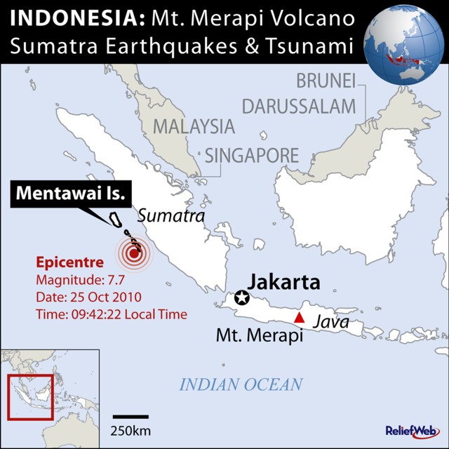
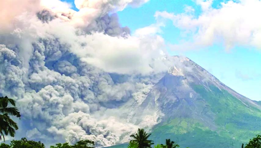
Mount Merapi, one of the world’s most active volcanoes, erupted, spewing out smoke and ash that covered villages near the crater. There were no immediate reports of casualties, the the National Disaster Mitigation Agency said. The images broadcasted shows ash-covered houses and roads at a village near the volcano, in Yogyakarta.
Buy Prime Test Series for all Banking, SSC, Insurance & other exams

More About The Mount Merapi volcano eruption:
The Merapi Volcano Observatory estimated the ash cloud reached 9,600 feet (3,000 metres) above the summit.
Authorities established a restricted zone of seven kilometres from the crater after the eruption, which was recorded at 12:12 pm (0512 GMT).
The extent of the damage:
At least eight villages near the volcano have been affected by volcanic ash, an officer at one of Merapi’s observation posts said in a statement.
The history of the Mt Merapi’s volcanic activities:
The volcano’s last major eruption in 2010 killed more than 300 people and forced the evacuation of some 280,000 residents. It was Merapi’s most powerful eruption since 1930, when about 1,300 people were killed. An eruption in 1994 left about 60 people dead. The volcano’s alert status has remained at the second-highest level since 2020 after showing renewed activity.
Mount Merapi: the most active volcano in Indonesia:

- The Mount Merapi is the Fire Mountain in Indonesia and Java.
- It is an active stratovolcano that is located on the border between the Central Java and Yogyakarta provinces, Indonesia.
- It is considered as the most active volcano in Indonesia and is erupted regularly since 1548.
- It is the youngest group of volcanoes in southern Java that is situated at a subduction zone of the Indo-Australian Plate and Sunda Plate.
- At this subduction zone, the Indo-Australian Plate subducts under the Sunda Plate.
You may also read this:


 ICICI’s New Swasthya Pension Scheme: A S...

 Trump Slaps 10% Global Tariff on All Imp...


