Nestled within the heart of India lies the state of Madhya Pradesh, a land rich in culture, heritage, and natural beauty. While Madhya Pradesh boasts expansive landscapes and diverse regions, it also hosts a diminutive yet charming district that holds its own unique appeal. Welcome to Niwari, the smallest district in Madhya Pradesh, where history, tradition, and scenic vistas converge in a mesmerizing tapestry.
Smallest District in Madhya Pradesh, Name
Nestled within the heart of Madhya Pradesh, Niwari district stands as a testament to the state’s diverse landscape and administrative evolution. With its formation on 1st October 2018, Niwari emerged as the 52nd district of Madhya Pradesh, marking a significant milestone in the region’s history. Spanning across an area of 1,170 square kilometers and inhabited by a population of approximately 404,807 individuals, Niwari district holds a distinct identity within the state’s administrative framework.
Smallest District in Madhya Pradesh – Historical Background
Niwari district’s journey is intertwined with the broader historical narrative of Madhya Pradesh. Once a part of Tikamgarh district, Niwari attained independent district status in 2018, following a concerted effort to enhance local governance and administrative efficiency. This separation marked a new chapter in the region’s socio-economic development, empowering local communities and fostering a sense of autonomy.
Location of Niwari on Map of Madhya Pradesh

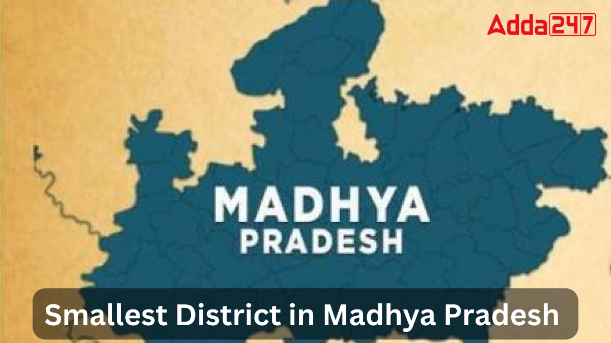
Niwari, the smallest district in Madhya Pradesh, India, is located in the northeastern part of the state. It lies nestled amidst the Vindhya Range, bordered by Uttar Pradesh to the north and east, and by other districts of Madhya Pradesh to the south and west. Niwari’s geographical setting is characterized by its proximity to historical and cultural landmarks, offering a blend of natural beauty and heritage sites to explore.
Smallest District of Madhya Pradesh – Geographical Significance
Despite its modest size, Niwari district boasts diverse geographical features that enrich its landscape. Situated in central India, the district is characterized by its undulating terrain, fertile plains, and verdant countryside. Blessed with natural beauty and abundant resources, Niwari serves as a microcosm of Madhya Pradesh’s natural splendor, attracting visitors and explorers keen on experiencing its rustic charm.
Madhya Pradesh’s Smallest District – Population and Language
The demographic tapestry of Niwari district reflects the cultural mosaic of Madhya Pradesh. With a population of over 400,000 inhabitants, the district is home to a vibrant community that celebrates its linguistic and cultural heritage. Hindi serves as the primary language, facilitating communication and fostering a sense of solidarity among residents. Within its 281 villages, Niwari embodies the essence of rural life, characterized by warmth, hospitality, and communal harmony.
Madhya Pradesh State at a Glance
- Country: India
- Area: Malwa, Bundelkhand, Baghelkhand, Nimar, Mahakaushal, and Gird
- Establishment: 1 November 1956
- Capital: Bhopal
- Largest City: Indore
- Government: Madhya Pradesh Government
- Chief Minister: Mohan Yadav (BJP)
- Assembly: Unicameral (230 seats)
- Parliamentary Representation: Lok Sabha (29 seats), Rajya Sabha (11 seats)
- High Court: Madhya Pradesh High Court, Jabalpur
- State Area: 308,245 km2 (119,014 sq mi) – second largest in India
- Population (2011): 72,626,809 – 5th populous state
- Population Density: 240/km2 (610/sq mi)
- Urban Population: 20,059,666
- Rural Population: 52,537,899
- GDP (2019–20): Total ₹9.17 trillion (US$133.88 billion), Per Capita ₹1,03,288 (US$1,508)
- Official Language: Hindi
- Time Zone: Indian Standard Time (UTC+05:30)
- Human Development Index (2018): 0.606 (medium) – 33rd rank
- Literacy Rate (2011): 70.6%
- Sex Ratio (2011): 931 males per 1000 females


 List of National and International Organ...
 Which District of Kerala is known as the...
 Which District of Kerala is known as the...


