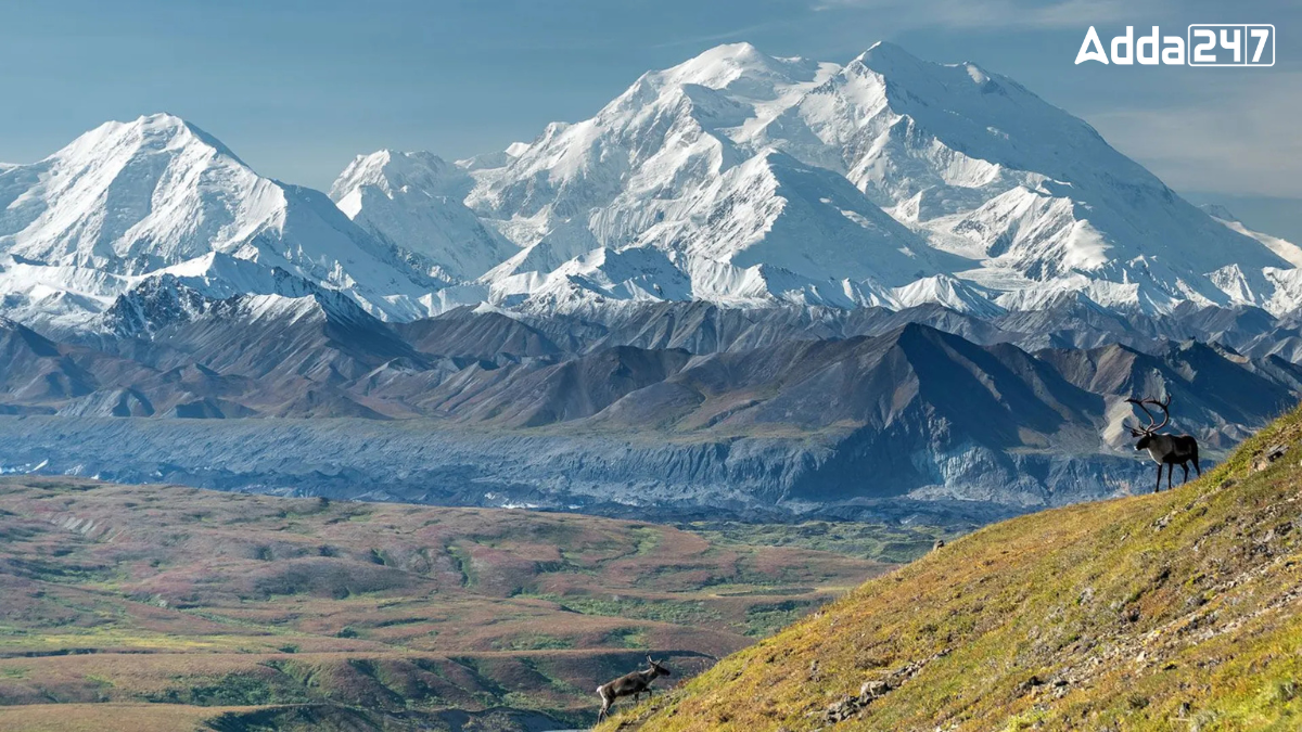
India is a country known for its vast geography, which includes mountains, deserts, rivers, and plains. Among the many states in India, Himachal Pradesh is often called the Mountain State. This is because of its location in the Himalayan range and the many beautiful mountains it has.
Indian States and Union Territories
India has 28 states and 8 Union Territories. Each state has its own government, while Union Territories are directly governed by the central government. States like Uttar Pradesh, Maharashtra, and West Bengal are large and populous, while Union Territories like Delhi and Chandigarh are smaller. These states and UTs are divided based on geography, culture, and history.
Which Indian State is Known as the Mountain State?
Himachal Pradesh is famously known as the “Land of Mountains.” Located in the northern part of India, it is a hilly state known for its breathtaking landscapes and mountainous terrain.
Why is Himachal Pradesh Known as the Mountain State?
Himachal Pradesh is often referred to as the “Mountain State” because of its many mountain ranges. The state is home to the mighty Dhauladhar Range, which divides the Ravi and Beas rivers. This beautiful state has around 16,807 villages, most of which are situated in the hills and valleys of the region.
The Indian Himalayan Region
The Himalayan Mountain ranges stretch across 13 Indian states and union territories. These include Jammu and Kashmir, Ladakh, Uttarakhand, Himachal Pradesh, Arunachal Pradesh, Manipur, Meghalaya, Mizoram, Nagaland, Sikkim, Tripura, Assam, and West Bengal. The Himalayas are known for being the highest and youngest mountain ranges in the world.
Geography of the Himalayan Region
The Himalayan Mountain range is known for its stunning beauty and diverse ecosystems. It plays a vital role in the climate of the surrounding regions, influencing weather patterns and providing a source of rivers. The ranges are also home to a rich variety of wildlife and plant species.


 Which State is the Largest Producer of C...
 Which State is the Largest Producer of J...
 Which Village of Uttar Pradesh is known ...


