
Did you know that rivers play a very important role in shaping the geography, culture, and life of a country? In many places, rivers are not only sources of water but also support farming, trade, and settlements that grow along their banks.
Afghanistan is a landlocked country known for its rugged mountains, dry plains, and beautiful valleys. Because of its dry climate, rivers are extremely valuable here, providing water for agriculture and daily life to millions of people.
Several rivers flow through Afghanistan, many of which originate in the high mountain ranges of the region. These rivers travel long distances across the country, forming valleys, supporting wildlife, and helping nearby communities survive in challenging environments.
Among these waterways, one river stands out for its impressive length and historical importance. It flows through large parts of the country and has been vital for irrigation, settlements, and transportation for centuries.
Understanding which river holds this distinction offers interesting insights into Afghanistan’s geography and how natural water systems influence life in the region.
Which is the Longest River of Afghanistan?
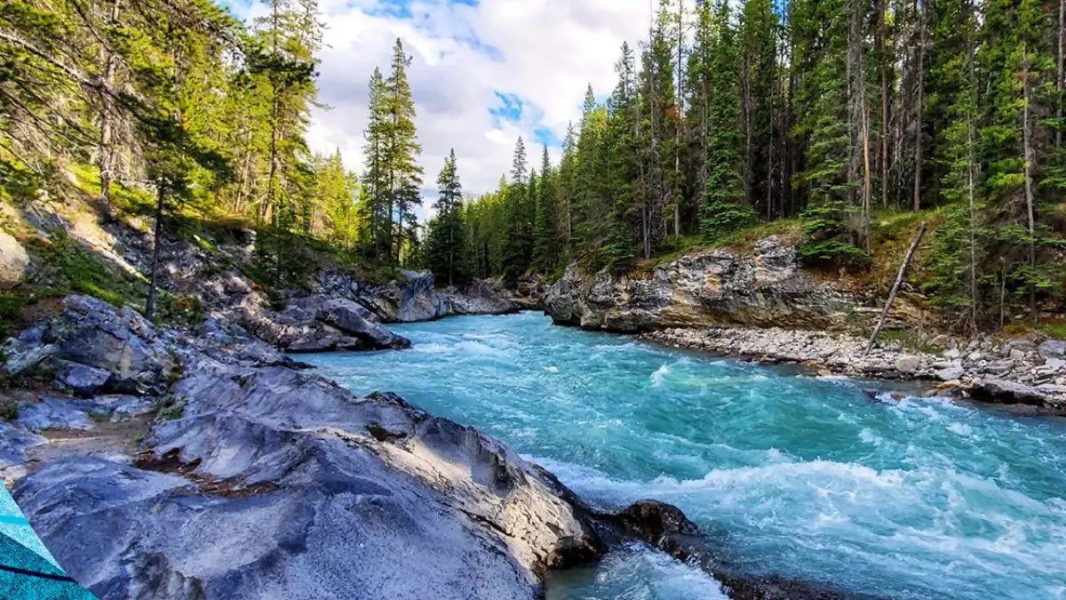
The Helmand River is the longest river in Afghanistan. It is about 1,150 kilometers long and begins in the Hindu Kush mountains. The river flows southwest through several Afghan provinces and passes near the city of Lashkargah. Finally, it drains into Hamun Lake near Iran. The Helmand River is very important for irrigation, farming, and water supply in the dry regions of Afghanistan.
Origin of the Helmand River
The Helmand River begins in the Hindu Kush mountains. Its source lies in the Sanglakh Range in the northeastern area of Maidan Wardak Province, located west of Kabul.
From these high mountains, the river flows toward the southwest. Along its journey, it passes through provinces such as Daykundi Province and Uruzgan Province before reaching the fertile plains of southern Afghanistan.
Check This: Which is the Highest Mountain of Afghanistan?
Length and Course of the River
The Helmand River is about 1,150 kilometers (710 miles) long, making it the longest river in Afghanistan.
During its journey, the river flows past the city of Lashkargah, which is an important agricultural center. After that, it moves through the desert region known as Dasht-e Margo.
Eventually, the river reaches the wetlands and lakes of the Sistan Basin, finally draining into Hamun Lake near the border of Iran.
Tributaries of the Helmand River
Several smaller rivers flow into the Helmand River, increasing its water volume.
Two of the most important tributaries are the Arghandab River and the Tarnak River. These rivers contribute significant water to the Helmand basin and help support agriculture in the surrounding regions.
The Arghandab River joins the Helmand near the area of Kandahar, which is one of Afghanistan’s major cities.
Importance for Agriculture and Irrigation
The Helmand River is extremely important for farming. Since much of Afghanistan has a dry climate, farmers depend heavily on river water for irrigation.
The river is managed by the Helmand and Arghandab Valley Authority, which oversees irrigation projects and water distribution.
Water from the river is used to grow crops such as wheat, fruits, and vegetables. However, in some areas, the buildup of mineral salts in the soil has reduced the effectiveness of irrigation.
Dams and Hydroelectric Projects
Several dams have been built on the Helmand River to store water and produce electricity.
One of the most important dams is the Kajaki Dam, which creates a large reservoir and helps generate hydroelectric power. The dam also supplies water for irrigation projects in southern Afghanistan.
Similarly, another major dam exists on the Arghandab River, supporting agriculture around Kandahar.
Historical Significance of the Helmand Valley
The Helmand valley has been important for thousands of years. Ancient texts such as the Avesta mention the region as Haetumant, which was considered an early center of the Zoroastrianism.
Later, during the first millennium BC and early centuries AD, the Helmand and Kabul valleys were home to communities of Hinduism and Buddhism.
From 1758 to 1842, the river also formed the northern boundary of the Khanate of Kalat, showing its importance as a geographical and political boundary.

 What is the Old Name of Punjab? Check He...
 GK Quiz on Strait of Hormuz, Questions a...
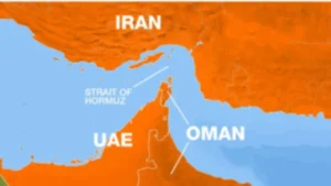 Which Countries Border the Strait of Hor...


