
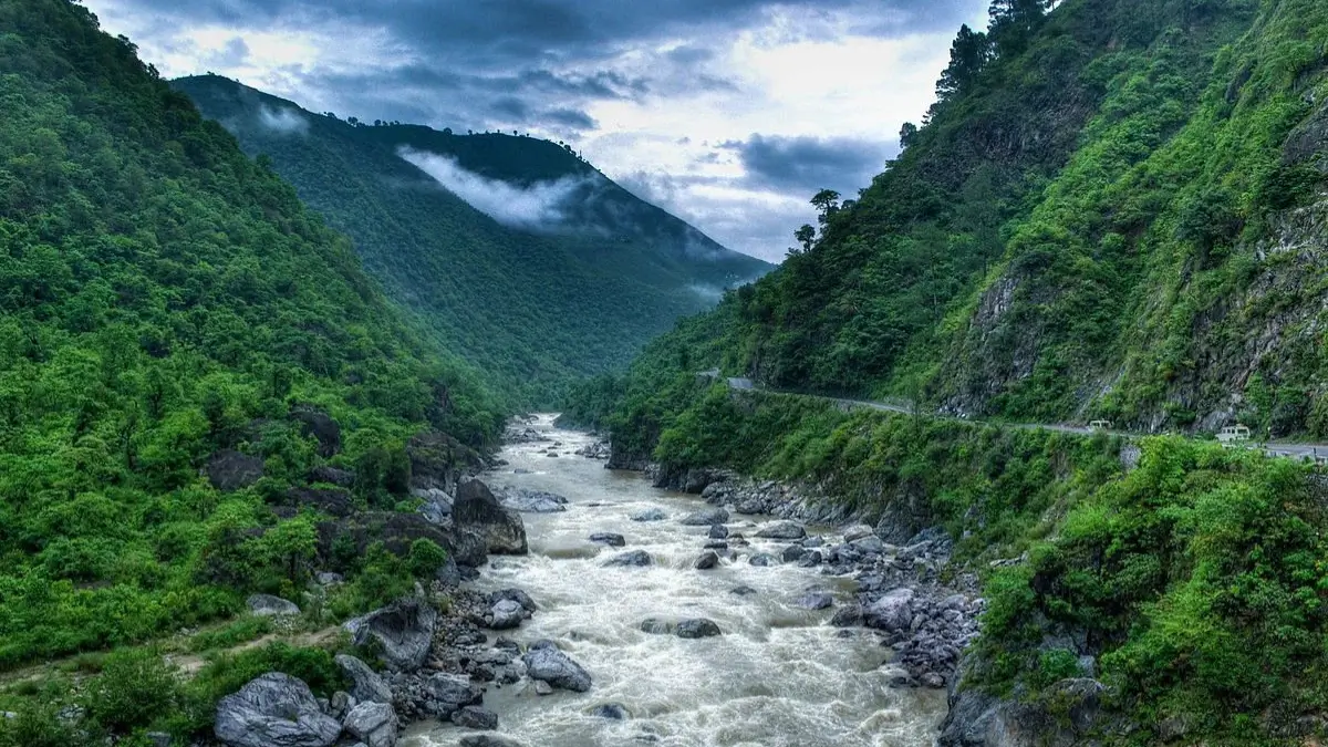
Did you know there is a river in northern India that people respect but also fear? For many years it has shaped villages, fields, and roads, sometimes bringing water and sometimes trouble.
During the rainy season, the river grows very wide and powerful. Calm banks quickly turn into flooded land, and daily life suddenly changes for nearby families.
Farmers depend on rivers for fertile soil, yet this river often washes crops away instead of helping them grow. Because of this, its name carries a deep emotional meaning among locals.
In history and news reports, it is often mentioned whenever heavy floods affect the state. People prepare every year, hoping the waters remain gentle.
For the residents living near its path, the river is both a blessing and a challenge — a natural force they can never ignore.
Which River is known as the Sorrow of Uttar Pradesh?
The Ghaghara River is known as the Sorrow of Uttar Pradesh. Every year during the monsoon, heavy rainfall in the Himalayan region raises the river’s water level and causes severe floods. Many eastern districts such as Ballia and Bahraich suffer damage to crops, houses, and roads. The river also changes its course frequently, cutting fertile land and villages. Because it repeatedly brings destruction and hardship to people, it has earned this sad nickname.
Why is Ghaghra River known as the Sorrow of Uttar Pradesh?
The river receives huge amounts of water during the monsoon season. When heavy rain falls in the Himalayas and Nepal region, the water level rises very quickly. As a result, the river overflows and floods nearby areas.
Every year, serious flooding affects eastern districts such as Ballia, Gonda, Deoria and Bahraich. Villages get submerged, roads break, crops are destroyed, and thousands of people are forced to leave their homes. Because of this repeated suffering, people started calling it the Sorrow of Uttar Pradesh.
A River that Changes Its Path
Another reason behind this name is the river’s unstable nature. The Ghaghara frequently shifts its course. When the water level increases, it cuts into the riverbanks and changes direction. This process:
- washes away fertile agricultural land
- damages houses and settlements
- destroys fields just before harvest
For farmers, this means a year of hard work can disappear overnight.
Origin and Journey of the River
The river begins near Lake Mansarovar in Tibet. In its upper course it is called Karnali. After entering Nepal, it becomes known as Kauriala.
Then the river enters India near Lakhimpur Kheri and Bahraich. At Ayodhya it is locally known as the Saryu River.
Finally, it flows into the Ganga near Chapra in Bihar.
Flood-Prone Districts
The river mostly troubles the eastern part of the state. Major flood-affected regions include:
- Ballia
- Gonda
- Deoria
- Bahraich
During monsoon months, these areas often face evacuation, crop loss, and transport disruption.
Wildlife in the River
Despite its destructive nature, the river is rich in biodiversity. It supports many aquatic animals such as:
- crocodiles
- turtles
- the endangered Ganges river dolphin
Thus, the river is both a natural blessing and a natural challenge.

 GK Quiz on Good Friday 2026, Questions a...
 Which is the largest Coriander Producing...
 Which is the Most Consumed Beverage in t...


