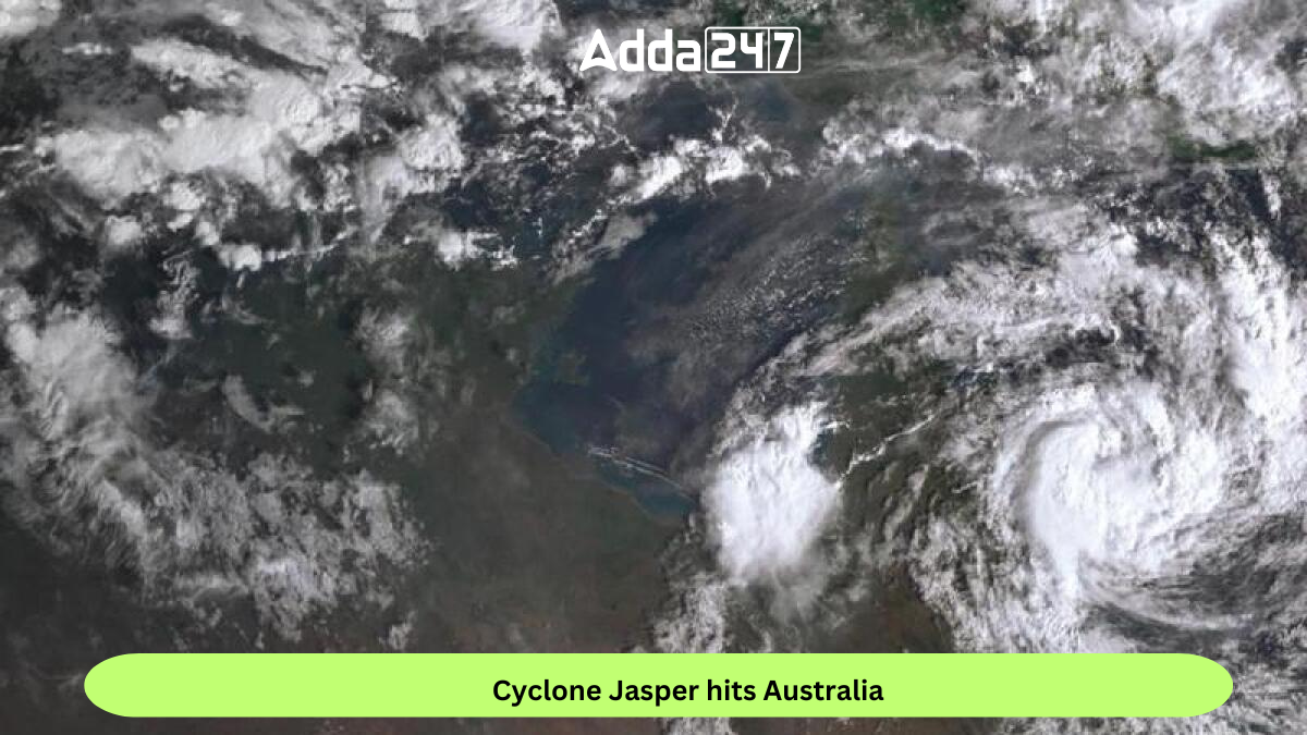
Tropical Cyclone Jasper, the first named storm of the 2023–24 Australian region cyclone season, made landfall in northeast Australia, impacting northern Queensland with destructive winds and the looming threat of flash flooding. This active tropical cyclone emerged as the third disturbance of the 2023–24 South Pacific cyclone season.
Cyclone Development
Originating from a low-pressure area in the South Pacific Ocean, Jasper initially moved southwest through Fiji’s area of responsibility. While slow to develop initially, the system gained strength, prompting the Australian Bureau of Meteorology (BoM) to classify it as a Category 1 tropical cyclone on the Australian scale.
Intensification and Category 4 Status
Jasper rapidly intensified, reaching Category 4 status on 7 December, with the Joint Typhoon Warning Center (JTWC) estimating sustained winds of 220 km/h (140 mph). However, the cyclone’s journey took a turn as it encountered an environment with increasing wind shear, leading to a gradual weakening.
Weakening and Approach to Queensland
The system’s low-level circulation center became exposed, and Jasper maintained a poorly defined convective structure as it approached northern Queensland. Despite the weakening, the cyclone still posed a significant threat to the region.
Landfall and Impact
As Jasper made landfall, the northeast coast experienced damaging winds of up to 113 km/h (70 mph). Meteorologists issued warnings about the potential for pummelling rains, raising concerns of flash flooding in certain areas. The impact of the cyclone is expected to be felt across the region, with authorities urging residents to take necessary precautions.
Emergency Response and Preparedness
In anticipation of the cyclone’s impact, emergency response teams are on high alert, and residents are advised to follow evacuation orders and stay updated on weather advisories. Local authorities are coordinating efforts to ensure the safety and well-being of communities in the affected areas.
Find More Miscellaneous News Here


 Raja Ravi Varma Painting Breaks Records ...
 Shah Rukh Khan Debuts in Hurun Global Ri...
 A Tribe With No Word for "Time"? Inside ...


