
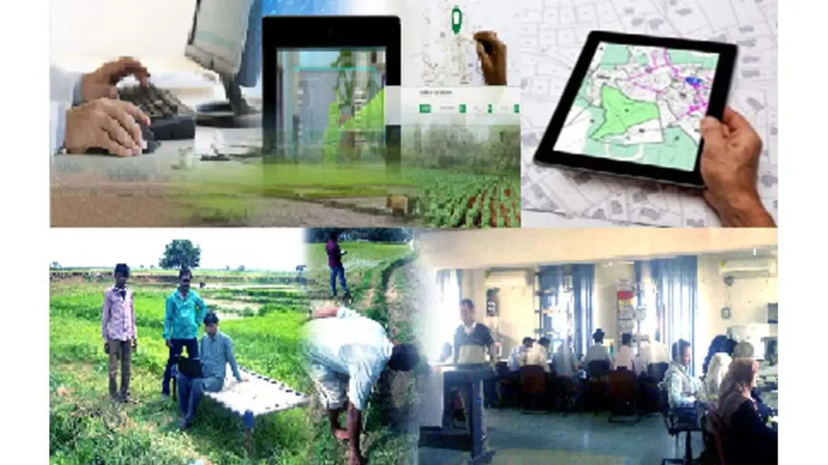
The Department of Land Resources (DoLR), Ministry of Rural Development, will host a major National Symposium on NAKSHA and LandStack on December 3, 2025, at Bharat Mandapam, New Delhi. Held as part of GeoSmart India 2025, this event aims to speed up the use of modern geospatial technology to improve urban land records and strengthen citizen services across the country. The symposium will gather government officials, technical experts, and industry leaders for in-depth discussions on creating a transparent and future-ready digital land system for India.
Reviewing the NAKSHA Pilot Programme
The first key discussion will focus on the progress of the NAKSHA pilot, which uses advanced aerial mapping and feature extraction tools to map over 157 cities. Experts will talk about challenges in collecting accurate data in crowded urban areas, matching aerial images with ground information, and updating old land maps with modern digital surveys.
Developing the LandStack Digital Ecosystem
A major part of the symposium will highlight LandStack, a unified digital system planned to bring together all land-related information of India. Specialists will discuss how to integrate various datasets like cadastral maps, administrative records, and geospatial layers. They will also explain why common national standards and a federated model are essential for smooth data sharing among States and departments.
UrPro Card: One Trusted Digital Property Document
The event will also focus on the proposed UrPro Card, a secure digital property document that aims to simplify property ownership. Discussions will cover the legal changes and administrative coordination needed among States and Union Territories to use this card for registration, mutation, building permissions, and property tax. The UrPro Card aims to give citizens reliable and easily transferable property rights.
Showcasing Advanced Technology and Interoperability
Participants will get a complete demonstration of the modern WebGIS Platform and Cloud Services. The sessions will explore how technologies like AI/ML-based analytics, 3D mapping, and cloud geospatial solutions can increase accuracy, transparency, and accountability in urban land management. These tools are expected to make land services faster and more citizen-friendly.
A Step Toward Viksit Bharat
The symposium highlights the Government of India’s commitment to using the latest technology and a Whole-of-Government approach to replace old land systems with transparent, digital, and citizen-focused solutions. These efforts play an important role in building a modern, well-governed, and developed India under the vision of Viksit Bharat.

 Which Place is known as the Onion Hub of...
 RBI Plans to Make TReDS Registration Eas...
 KreditBee Joins Unicorn Club After Raisi...


