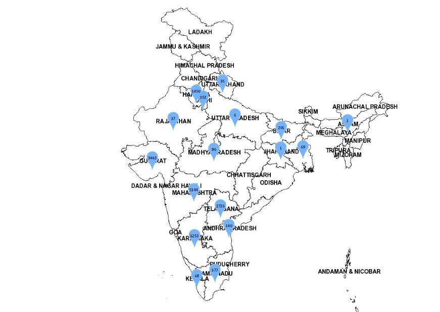
The Department of Science and Technology (DST), Government of India, has rolled out an Integrated Geospatial Platform known as “SAHYOG”. This integrated geospatial platform aims to help in decision making during the present COVID-19 outbreak and support with area-specific strategies in order to handle the socio-economic impact in the recovery phase. The mobile application SAHYOG will also complement the “AAROGYA-SETU” mobile application for Contact tracing, Public awareness, and Self-assessment objectives.
Click Here To Get Test Series For SBI PO 2020
About Integrated Geospatial Platform: SAHYOG
The Integrated Geospatial Platform “SAHYOG” has been created by the Department of Science and Technology from the available geospatial datasets, standards-based services, and analytic tools. It has been rolled out in the form of mobile application as well as the web portal (https://indiamaps.gov.in/soiapp/). SAHYOG will bolster the public health delivery system of the State as well as Central Governments and facilitate the necessary geospatial information support to citizens and agencies by collecting the COVID-19 specific geospatial datasets via community engagement. This is expected to speed up the response activities by Government of India against the pandemic.
Hence, the “SAHYOG” platform will support the Nation’s health emergency management in response to the COVID-19 outbreak.


 Indian Olympic Medal Winners List Till N...
 Who is the Inventor of the Gramophone?
 HS Dhaliwal Appointed New DGP Of Andaman...
