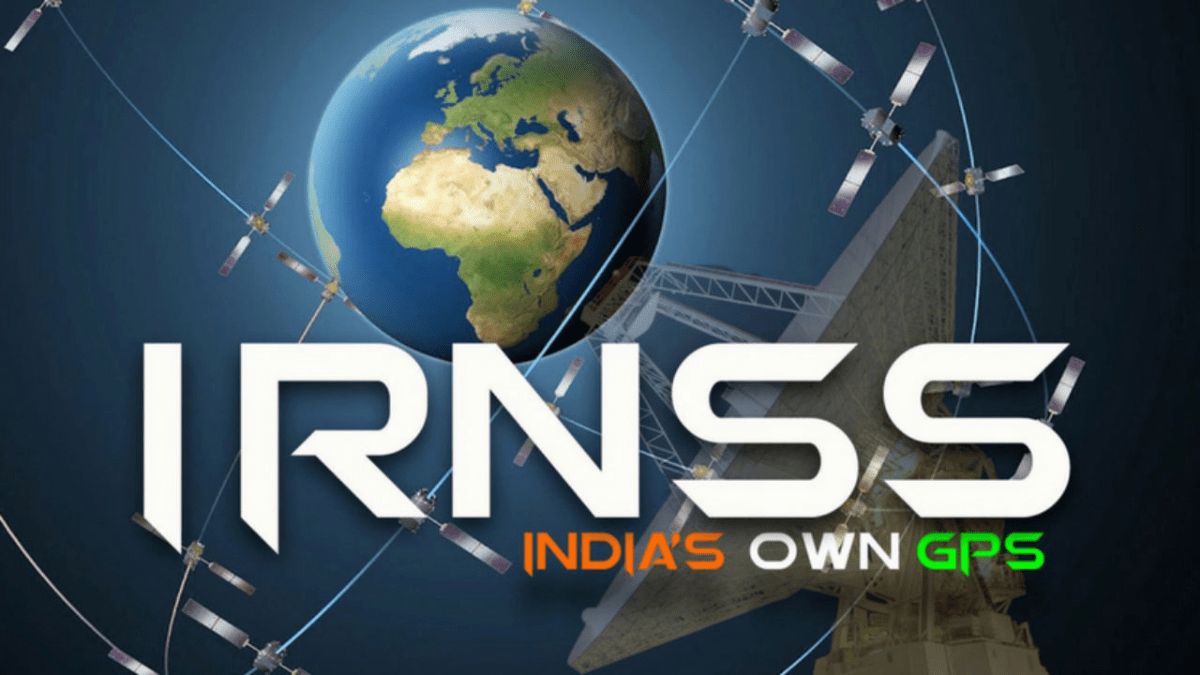
The Indian Regional Navigation Satellite System (IRNSS) has been recognised by the International Maritime Organisation (IMO) as a part of the World Wide Radio Navigation System (WWRNS) for operation in the Indian Ocean Region. India has become the fourth country in the world to have its independent regional navigation satellite system recognised by the International Maritime Organisation (IMO). The other three countries that have its navigation systems recognised by the IMO are the US, Russia and China.
WARRIOR 4.0 | Banking Awareness Batch for SBI, RRB, RBI and IBPS Exams | Bilingual | Live Class
About IRNSS:
- The Indian Regional Navigation Satellite System (IRNSS) was designed to provide accurate position information services to assist in the navigation of ships in Indian Ocean waters.
- The Director-General of Shipping (DGS) had approached the IMO for granting recognition to the IRNSS as a component of the WWRNS, similar to the US-owned Global Position System (GPS) or Russia’s Global Navigation Satellite System (GLONASS) – a process that took two years.
- The IRNSS was a modern and more accurate navigation system and at any given time, there are at least 2,500 merchant vessels in Indian waters that will now be able to use the system.
- The IRNSS will be used to assist in the navigation of ships in ocean waters within the area of approximately 1,500 km from the Indian boundary.


 List of National and International Organ...
 DBT Marks 40 Years; Dr Jitendra Singh La...
 7th All India Conference of GRP Chiefs C...


