
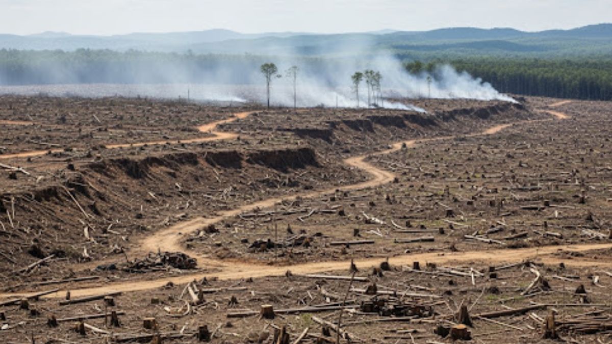
A new study by IIT Bombay has revealed that India lost forest cover 18 times faster than it gained it between 2015 and 2019, raising concerns over the ecological health of India’s green zones. Conducted by Prof. Raaj Ramsankaran in collaboration with Dr. Vasu Sathyakumar and Sridharan Gowtham from SASTRA Deemed University, the study underscores the alarming trend of fragmented forest growth.
Key Findings: More Loss, Less Ecological Gain
According to the research, India saw a net forest gain of only 56.3 sq km, while it lost 1,032.89 sq km, indicating that for every 1 sq km gained, 18 sq km were lost. The study used data from the Copernicus Global Land Service (CGLS), a globally recognized land cover monitoring system.
Interestingly, nearly half of the forest gain occurred in Andhra Pradesh, Tamil Nadu, Karnataka, and Rajasthan, while Tamil Nadu and West Bengal accounted for almost half of the loss. However, most of these gains were fragmented islets, offering little ecological benefit.
“Our results clearly show that most of the newly added forests were highly fragmented and ecologically vulnerable. We must move beyond quantity-based afforestation and focus on structural connectivity,” said Dr. Sathyakumar.
Why Forest Fragmentation Matters
Fragmented forests — unlike large, contiguous ones — fail to support rich biodiversity, disrupt wildlife movement, and are more vulnerable to climate change and human activity. For instance, large predators like tigers require uninterrupted forest corridors to hunt, mate, and survive safely.
The study stresses that continuous forests are better at delivering long-term environmental and socio-economic benefits, including carbon sequestration, water regulation, and sustainable livelihoods for forest-dependent communities.
Data Discrepancy with Government Reports
While this study presents a stark picture, the Forest Survey of India (FSI) reports suggest an increase in overall forest cover. The discrepancy arises due to differing methodologies. The FSI uses a 10% tree canopy threshold with a 23.5m resolution, while CGLS data uses a 15% threshold and 100m resolution.
Importantly, FSI does not assess forest connectivity, which, according to the IIT study, is vital to understanding the true ecological status of forests.
“Our dataset has a globally validated accuracy of over 85%. If FSI data were GIS-compatible, we could apply our connectivity-based approach to it,” added Dr. Sathyakumar.
A New Framework for Forest Planning
The researchers have proposed a new framework that leverages remote sensing data and open-source tools to map and assess forest connectivity across India. The model could help policymakers and forest planners design more resilient and ecologically meaningful afforestation strategies.

 UV Index Explained: The Hidden Health Ri...
 QS World University Rankings 2026: India...
 Best Airlines in the World 2026: Best Fu...


