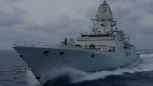
On 26 October 2025, the Indian Ministry of Defence announced that the INS Sutlej successfully concluded a major hydrographic survey in cooperation with the Mauritius Hydrographic Service, covering roughly 35,000 square nautical miles. This undertaking is an important strand of the long‑term maritime partnership between India and Mauritius, and has implications for navigation safety, coastal management, marine resource planning and regional security.
Background: Survey & Bilateral Framework
- India and Mauritius have a Memorandum of Understanding (MoU) on hydrographic cooperation, signed in October 2005, under which the Indian Navy’s hydrographic fleet assists Mauritius in mapping its maritime zones, and provides training of Mauritian personnel.
- The INS Sutlej mission is reported to be the 18th joint hydrographic mission between the two countries, underscoring an enduring partnership.
- As a hydrographic survey ship, INS Sutlej is equipped with advanced sensors (multibeam echo sounders, side‑scan sonar, differential GPS etc.) for charting the seabed and coastal waters with high accuracy.
Key Aspects of the 2025 Mission
- Area surveyed & scope: The mission covered approximately 35,000 square nautical miles of Mauritian waters.
- Capacity‑building component: Six personnel from various ministries of Mauritius embarked onboard for training in “modern hydrographic techniques”.
- Maritime security dimension: In addition to the survey work, INS Sutlej carried out joint EEZ surveillance and anti‑piracy patrols with the Mauritius National Coast Guard.
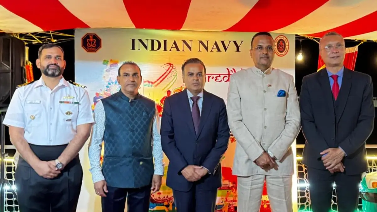
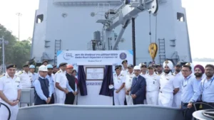
- Formal hand‑over: A ceremony was held onboard the ship during which the “fair‑sheet” of the completed survey was handed over to Mauritian authorities in presence of the Hon’ble Mr. Shakeel Ahmed Yousuf Abdul Razack Mohamed (Minister of Housing & Lands, Mauritius) and Mr. Anurag Srivastava (High Commissioner of India to Mauritius).
- Strategic branding: The mission aligns with India’s broader maritime vision — MAHASAGAR (Mutual & Holistic Advancement for Security and Growth Across the Regions) — a successor or complement to the earlier SAGAR (Security and Growth for All in the Region) concept.
Policy Recommendations
- Institutionalise regular surveys to maintain current and reliable nautical charts.
- Create a joint training and research center focused on hydrography and marine sciences in the Indian Ocean region.
- Integrate hydrographic insights into national policies, particularly those related to the Blue Economy and climate resilience.
- Expand joint operations into structured multilateral security frameworks involving other Indian Ocean island nations.
- Leverage technological cooperation in autonomous marine vehicles, marine data analysis, and real-time maritime monitoring systems.
Key Takeaways
- The INS Sutlej’s successful hydrographic survey in Mauritius marks a milestone in Indo-Mauritian maritime relations, enhancing both nations’ capabilities in marine safety, environmental governance, and strategic security.
- 35,000 square nautical miles surveyed.
- 18th joint hydrographic mission between India and Mauritius.
- Six Mauritian personnel trained in hydrographic techniques.
- Joint EEZ and anti-piracy patrols conducted.
- Part of India’s MAHASAGAR vision.

 INS Sanshodhak: India’s Indigenous Surve...
 Indian Navy Inducts Indigenous Stealth F...
 Indian Air Force to Equip MiG-29 Jets wi...