
The Indian Space Research Organisation (ISRO) is set to launch the highly anticipated NASA-ISRO Synthetic Aperture Radar (NISAR) today from the Satish Dhawan Space Centre, Sriharikota, at 5:40 pm using the GSLV-F16 rocket. The countdown began yesterday at 2:10 pm, marking the final phase of preparation for one of the most ambitious Earth observation missions ever undertaken.
The NISAR Mission – A Game-Changer in Earth Observation
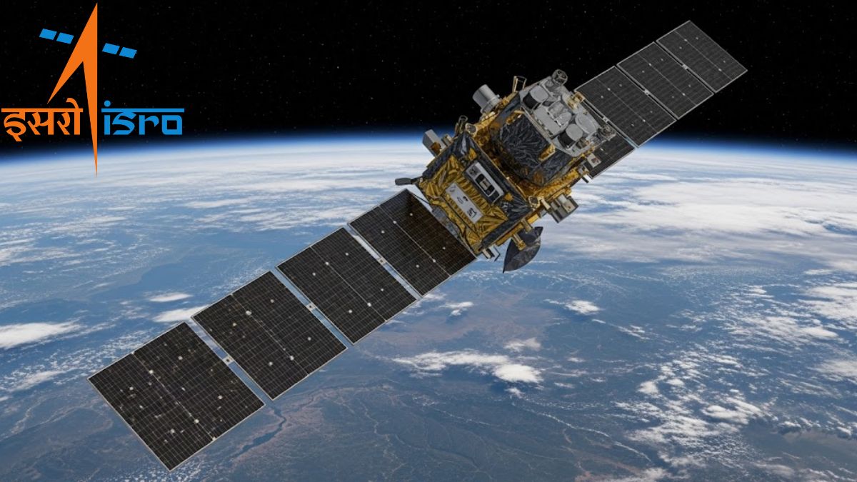
The NISAR satellite is designed to provide round-the-clock, all-weather monitoring of the Earth’s surface. With its advanced dual-band synthetic aperture radar technology, NISAR will capture extremely detailed images, detecting surface changes as small as a centimetre.
Global Coverage: The satellite will scan the entire globe once every 12 days, ensuring a comprehensive and consistent monitoring cycle.
Mission Life: Designed for a 3-year operational life, NISAR will generate continuous data crucial for environmental and resource management.
Orbit: It will be placed into a Sun-synchronous polar orbit at an altitude of 747 km, ensuring consistent lighting conditions for imaging.
Why NISAR is Unique
Unlike conventional observation satellites, NISAR stands out for its technological innovation and international collaboration.
Dual-Band Radar Technology,
- L-band Synthetic Aperture Radar (L-SAR) developed by NASA with a wavelength of 24 cm.
- S-band Synthetic Aperture Radar (S-SAR) developed by ISRO with a wavelength of 9 cm.
- This combination enables high-resolution imaging and precise detection of even minute changes on Earth’s surface.
- Heavy Payload Capability: Traditionally, ISRO uses PSLV rockets for Earth observation satellites. However, due to NISAR’s heavy weight, the GSLV-F16 is being used for the first time for such a mission.
- First Hardware Collaboration: This mission marks the first time ISRO and NASA have collaborated on hardware, with each agency contributing a distinct radar system, symbolizing a new era of global space cooperation.
Scientific and Strategic Significance of NISAR
The launch of NISAR is not just about technology — it represents a strategic leap forward in Earth science and disaster preparedness.
- Earth Monitoring: NISAR will regularly track ecosystems, forests, wetlands, surface dynamics, ice sheets, and glaciers, crucial for climate studies.
- Disaster Preparedness: It will provide data for natural hazard monitoring, including earthquakes, landslides, floods, and volcanic activities, enabling better disaster management.
- Resource Management: The mission will aid in monitoring agriculture, groundwater levels, biomass changes, and sea level rise, supporting sustainable resource planning.
- Global Transparency: In a rare move, all NISAR science data will be freely available to the public, ensuring transparency and promoting global scientific collaboration.
Voices from the Space Community
Experts from both NASA and ISRO have hailed NISAR as a revolutionary mission. It is expected to significantly enhance scientific understanding of the Earth’s dynamic processes while also supporting policymakers with data critical for climate change mitigation and resource planning.

 Meet MAI-Transcribe-1: Microsoft’s Fast,...
 What is Outer Space Treaty 1967? Princip...
 What Is Mission Mitra? ISRO’s New Experi...


