Bihar, one of India’s most populous states, is known for its ancient history, fertile plains, and cultural richness. For better administration, the state is divided into 38 districts, each with its own geographical and cultural significance. While some districts are smaller and densely populated, others cover vast areas. Among them, one district holds the distinction of being the largest in Bihar by area, making it an important topic for general knowledge and exams.
How many Districts are there in Bihar?
Bihar comprises 38 districts organized into 9 administrative divisions as of 2024. Each district is overseen by a Deputy Commissioner or District Magistrate, tasked with maintaining law and order. Unlike some states, Bihar’s district count has remained steady, reflecting no notable changes or demands for additional districts in recent years.
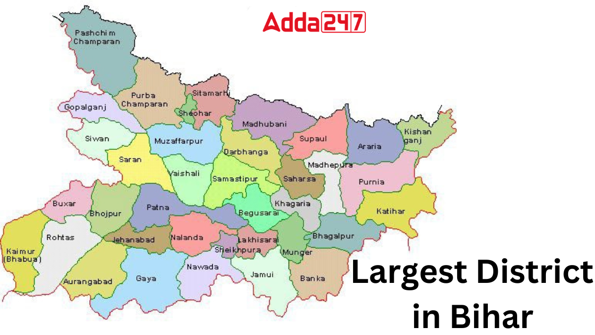
Largest District in Bihar
West Champaran, located in the western part of Bihar, is the largest district of the state, covering an area of about 5,228 sq km. Known for its cultural heritage and historical importance, it has played a key role in Bihar’s socio-economic growth. The district reflects the state’s diversity, resilience, and enduring legacy.
Key Facts Related to Largest District of Bihar
Here are some key facts related to West Champaran, the largest district of Bihar:
- West Champaran district spans an area of 5,228 square kilometers.
- It is home to a population of 3,935,042 people, with a population density of 753 per square kilometer.
- The district boasts a literacy rate of 55.70%.
- With a sex ratio of 909 females per 1000 males, West Champaran reflects gender balance.
- It comprises 3 sub-divisions and 18 blocks/circles.
- The district encompasses 1,483 villages and 5 urban local bodies (ULBs).
- Notable recent updates include recruitment notices, tender invitations, and cancellation of bids related to various administrative functions.
Largest District of Bihar in terms of Population
Patna, the largest district in Bihar by population, serves as the state’s capital and primary urban center. Formerly known as Pataliputra, it boasts a population of 2.35 million residents as of 2018, ranking it as India’s 19th most populous city. Patna’s strategic location along the southern bank of the Ganges River, coupled with its robust agricultural trade and burgeoning economy, underscores its significance as Bihar’s foremost district in terms of population density and economic activity.


 What is the State Flower of Uttarakhand?...
 Which Language is known as the Italian o...
 Which District is known as the Rice Bowl...


