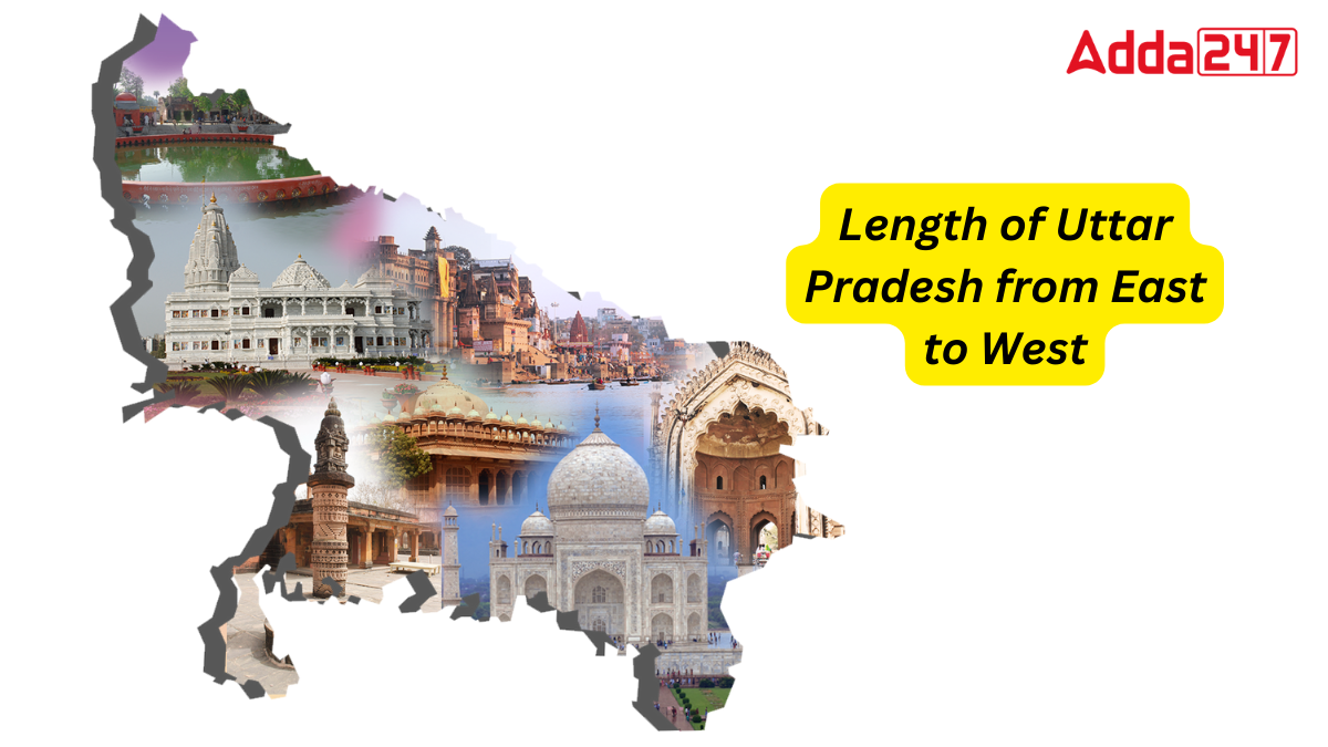
Uttar Pradesh is one of India’s most significant states in terms of agriculture, politics, economy, society, and geography. The state is a hub of cultural heritage, rich history, and religious cities. Every year, numerous domestic and international tourists visit Uttar Pradesh to explore its ancient sites and religious cities. In this series on Uttar Pradesh, we will discover the state’s total length from east to west.
Historical Names of Uttar Pradesh
Before independence, Uttar Pradesh was known by various names. Initially, it was called the North-Western Provinces. Later, it was renamed North-Western Provinces and Oudh, and subsequently, the United Provinces of Agra and Oudh. Finally, it was known as the United Provinces before being named Uttar Pradesh after independence.
Total Area of Uttar Pradesh
Let’s first understand the total area of Uttar Pradesh. The state covers an area of 240,928 square kilometers, which constitutes about 7.33% of India’s total area. In comparison, the total area of India is 3,287,263 square kilometers, accounting for about 2.4% of the world’s land area.
Total Districts in Uttar Pradesh
Uttar Pradesh comprises 75 districts, which are grouped into 18 divisions and further divided into four administrative regions. These regions contain a total of 822 community development blocks, 351 tehsils, and 17 municipal corporations. The easternmost district is Ballia, the northernmost is Saharanpur, the westernmost is Shamli, and the southernmost is Sonbhadra.
Length of Uttar Pradesh from East to West
Uttar Pradesh spans a total of 650 kilometers from east to west, stretching from Ballia in the east to Shamli in the west. This extensive length highlights the state’s significant geographical expanse, encompassing diverse regions and cultures.
Borders with Eight States and One Union Territory
Uttar Pradesh shares its borders with eight states and one union territory: Uttarakhand, Himachal Pradesh, Haryana, Rajasthan, Madhya Pradesh, Chhattisgarh, Jharkhand, Bihar, and Delhi.


 Which River is known as the Black River?...
 Which State is the Largest Producer of C...
 Which State is the Largest Producer of J...


