
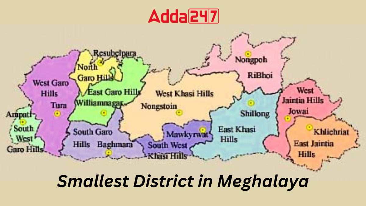
Nestled in the verdant hills and valleys of Meghalaya lies a petite gem, the smallest district in this northeastern Indian state. Amidst its picturesque landscapes and vibrant culture, the smallest district of Meghalaya stands as a testament to both nature’s beauty and human endeavor. Let’s embark on a journey to uncover the charm and essence of this diminutive yet captivating locale.
Smallest District in Meghalaya, Name
In the northeastern corner of India, within the verdant state of Meghalaya, lies the South West Garo Hills district, a petite yet culturally rich enclave. Established on August 7, 2012, with its administrative center in Ampati, this district is testament to both the region’s historical evolution and its contemporary vibrancy. Let’s delve into the intricacies of South West Garo Hills, the smallest district in Meghalaya.
Smallest District in Meghalaya – Historical Significance
South West Garo Hills emerged as an independent administrative entity following its separation from the larger West Garo Hills. This reorganization aimed to streamline governance and better cater to the needs of the region’s diverse populace. The inauguration of the district marked a significant milestone in Meghalaya’s quest for decentralized development and inclusive growth.
Smallest District of Meghalaya – Geographical and Demographic Landscape
Spanning an area of 822 square kilometers, South West Garo Hills is a patchwork of rolling hills, fertile plains, and meandering rivers. Its population, as per the 2011 Census, stands at 172,795 inhabitants, comprising a mix of ethnicities, cultures, and languages. The literacy rate, though modest at 56.7%, reflects ongoing efforts to enhance educational opportunities and promote literacy across the district.
Cultural Mosaic of Meghalaya’s Smallest District
At the heart of South West Garo Hills lies a vibrant tapestry of cultures, languages, and traditions. The Garo community, predominant in the district, imbues the region with its rich heritage and distinct customs. Additionally, the presence of Bengali, Hajong, and Koch communities adds to the cultural diversity, fostering an environment of harmony and coexistence.
Language and Religion of South West Garo Hills
Garo, the native language, resonates through the hills and valleys of South West Garo Hills, serving as a linguistic bond among its inhabitants. Bengali, Hajong, and Koch are among the minority languages spoken, reflecting the district’s multicultural fabric. Christianity stands as the dominant religion, with Hinduism and Islam also practiced by significant segments of the population.
Economic Landscapes of Smallest District in Meghalaya
Agriculture forms the backbone of the district’s economy, with rice cultivation being a primary occupation. The fertile lands yield a bounty of crops, sustaining livelihoods and fostering economic resilience. Handicrafts and traditional artisanal skills further contribute to the economic vibrancy of South West Garo Hills, showcasing the ingenuity and craftsmanship of its people.
Meghalaya State at a Glance
- Country: India
- Region: Northeast India
- Formation: 21 January 1972
- Capital and largest city: Shillong
- Districts: 12
- Governor: Phagu Chauhan
- Chief minister: Conrad Sangma (NPP)
- State Legislature: Unicameral
- Assembly: Meghalaya Legislative Assembly (60 seats)
- National Parliament: Parliament of India
- Rajya Sabha seats: 1
- Lok Sabha seats: 2
- High Court: Meghalaya High Court
- Area Total: 22,429 km2 (8,660 sq mi)
- Area Rank: 24th
- Population (2011): 2,964,007
- Population Rank: 22nd
- Population Density: 130/km2 (300/sq mi)
- Demonym: Meghalayans
- Official Language: English
- Literacy (2011): 74.43% (24th)
- Sex ratio (2011): 989♀/1000 ♂ (3rd


 Rivers of Jaipur: Complete List of Major...
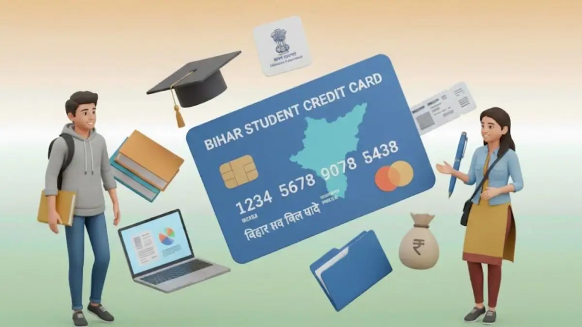 Bihar Student Credit Card Scheme (BSCC):...
 Which Is the Only National Flag in the W...

