
Context:
In June, 1958, the First Geological Survey of India (GSI) of the Siachen took place by an Indian geologist, V.K. Raina.
What’s in News?
The first Geological Survey of India (GSI) of the Siachen Glacier took place in June 1958, led by V.K. Raina, an Indian Geologist.
This survey is of historical and geostrategic significance as it disapproves the notion that Pakistan had control over the glacier since its inception.
What is Geological Survey?
Geological Survey examines an area to determine its rocks masses, mineral resources and formations.
Geological Survey is often conducted by a governmental bureau.
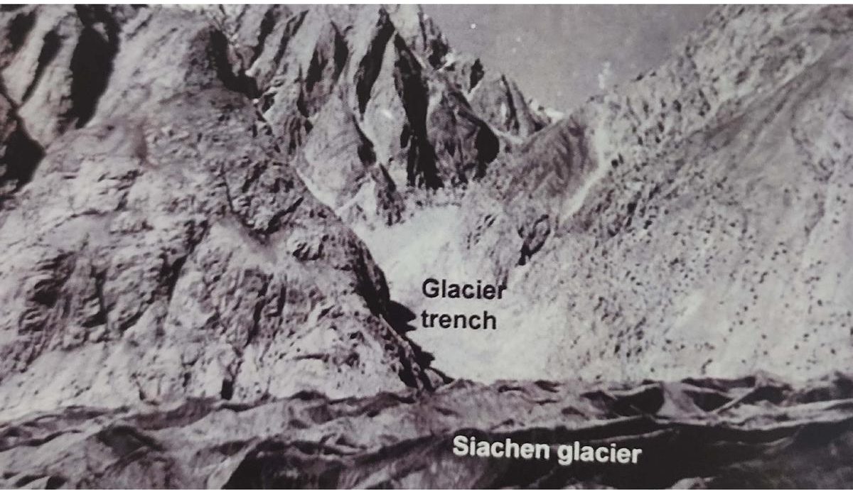
Siachen Glacier:
- The Siachen Glacier is the glacier located in the eastern Karakoram range in the
- It is just northeast of the point NJ9842 where the Line of Control between India and Pakistan ends.
- It is the longest glacier in Karakoram.
- It is the second longest glacier in the world’s non-polar areas.
- It falls from an altitude of 5,753m above sea level at its head by Indira Col on the India-China Border.
Unique Features of Siachen Glacier:
- Siachen Glacier is the longest glacier in the Karakoram Range which is 78 km long.
- It is the second longest glacier in the world’s non-polar areas.
- Since 1948, Siachen has been a major point of contention between India and Pakistan.
- The Indian Army initiated operation ‘Meghadoot’ to gain control over the entire Siachen Glacier.
- The melting waters of the glacier are the primary source of the Nubra River in the Indian region of Ladakh.
- The Nubra River flows into the Shyok River which eventually joins the Indus River in Pakistan.
- India has constructed the world’s highest helipad, known as Point Sonam, at an elevation of 21,000 feet (6,400m) to support its troops on the glacier.
- The world’s highest telephone booth has also been set up by India on the Siachen Glacier.
Reason behind Pakistan not asserting its claim over the Glacier:
During the period of Survey, Pakistan did not protest or show interest despite the India presence. This could be because of two reasons:
- Karachi ceasefire agreement of 1949: Both countries were following the terms of Karachi ceasefire agreement of 1949, which clearly outlined the ceasefire line, including up to the glaciers and agreed to mutually demarcate it.
- While the region beyond NJ 9842 was awaiting mutual demarcation, it was clear that if the agreed line extended north to the glacier intended, that region would still be part of Indian territory.
- As exploration and scientific visits did not pose a threat or indicate a breach of the agreement by either side, they were not given significance importance.
Find More Ranks and Reports Here
![]()


 Current Affairs Capsule PDF (15 July, 20...
 MRF Ranked India's Most Valuable and Str...
 India Reaffirms Support for Palestine's ...

