
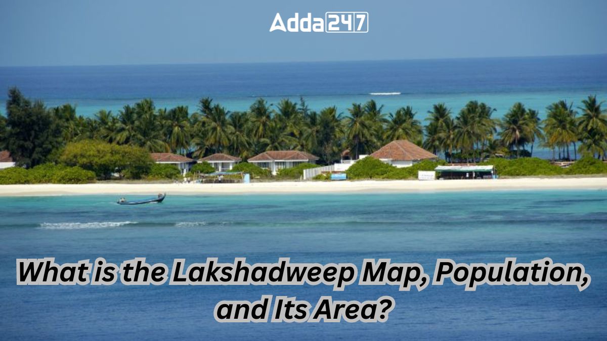
Lakshadweep, a group of islands nestled in the Arabian Sea, stands as the smallest union territory of India. Its name, meaning “hundred thousand islands” in Malayalam and Sanskrit, accurately reflects the picturesque beauty and charm that these islands offer to travelers seeking a beach paradise, water sports, and delectable seafood.
Lakshadweep Island at a Glance, Its Area, Population and Many More
- Date of Formation (Declared a Union Territory): Nov 1, 1956
- Area: 32 sq km
- Density: 2000/Km2
- Total Population (2011): 64,473
- Males Population (2011): 33,123
- Females Population (2011): 31,350
- Capital: Kavaratti
- Forests & National Park: Pitti Bird Sanctuary
- Languages: Divehi, Malayalam, Jeseri, Tamil, Mahi, English
- State Animal: Butterfly fish
- State Bird: Noddy Tern
- State Tree: Bread fruit
- Literacy Rate (2011): 92.28%
- Females per 1000 males: 946
Where is Lakshadweep in India?
Lakshadweep is positioned in the emerald waters of the Arabian Sea, lying between 8º – 12º 13″ North latitude and 71º – 74º East longitude. Situated approximately 220 to 440 kilometers away from the coastal city of Kochi in Kerala, this expansive territory spans a substantial area. With a lagoon covering about 4,200 square kilometers, territorial waters extending over 20,000 square kilometers, and an economic zone encompassing around 4 lakh square kilometers, Lakshadweep emerges as a significant expanse within the Indian geographical landscape.
Lakshadweep – Geography and Composition
Lakshadweep comprises twelve coral atolls, five banks, three coral reefs, and several islets. Situated near the Kerala coast, it falls under the jurisdiction of the Kerala state and Kerala High Court. The capital, Kavaratti, is renowned as one of the most beautiful places in the Indian subcontinent. Among the 36 islands, only ten are inhabited, namely Andrott, Amini, Agatti, Bitra, Chetlat, Kadmat, Kalpeni, Kavaratti, Kiltan, and Minicoy.
Map of Lakshadweep

The Lakshadweep Islands, situated in the Arabian Sea, form a cluster of small atolls and coral reefs. Spanning between 8º – 12º 13″ N latitude and 71º – 74º E longitude, this picturesque archipelago is approximately 220 to 440 km away from Kerala’s coast, offering a tropical paradise.
History of Lakshadweep
The history of Lakshadweep intertwines with local traditions and historical events. Legend attributes its origin to the last Chera king, Cheraman Perumal, who converted to Islam and left his capital, eventually leading to the discovery of the islands. The 7th century marked the introduction of Islam through St. Ubaidullah. Portuguese influence in the region was short-lived, followed by the rule of the British East India Company. Post-Independence, Lakshadweep became a union territory in 1956.
Administrative Structure of Lakshadweep
Governed by a governor appointed by the President of India, Lakshadweep is under the jurisdiction of the Kerala High Court. The district headquarters is located in Kavaratti, with ten subdivisions and efficient administrative bodies working for the upliftment of the islands.
Lakshadweep Island – Society and Culture
The islands boast a rich cultural heritage influenced by diverse traditions. Predominantly Muslim, Lakshadweep celebrates vibrant festivals such as muharram, bakri id, milad-un-nabi, and eid-ul-fitr. The local cuisine, heavily reliant on seafood and coconut, provides a unique culinary experience.
People and Languages of Lakshadweep Island
Simplicity characterizes the lifestyle of the four main communities: Malmis, Aminidvis, Melacheris, and Koyas. Malayalam is the predominant language, while Minicoy uses the Mahi language. English and Hindi are also spoken to some extent.
Education of Lakshadweep
With a high literacy rate of 92.28%, Lakshadweep follows the Kerala state curriculum. Education includes awareness programs on biodiversity, eco-friendly practices, and climate change. Higher education requires students to move to the mainland.
Tourism in Lakshadweep
The tourism industry, though newly developed, thrives on the raw and natural beauty of Lakshadweep. The long white beaches, emerald green waters, and unique sites like Kavaratti, Kalpeni, Agatti, and Minicoy make it a perfect destination for family vacations, honeymoons, and adventure seekers.
Beaches in Lakshadweep
Popular beaches which offer a distinct and mesmerizing experience include:
- Minicoy Island
- Agatti Islands
- Kavaratti Islands
- Bangaram Island
- Kalpeni Island
- Kadmat
- Amindivi Islands
Transportation
Due to its eco-sensitive nature, transportation on the islands is limited. Walking and bicycles are common modes of transport, while boats, helicopters, and ferries connect the islands. Agatti hosts the only airport, facilitating flights to the mainland.
Lakshadweep stands as a testament to the harmonious blend of natural beauty, cultural richness, and modern infrastructure, making it a must-visit destination in the Indian subcontinent.


 Rivers of Jaipur: Complete List of Major...
 Bihar Student Credit Card Scheme (BSCC):...
 Which Is the Only National Flag in the W...

