
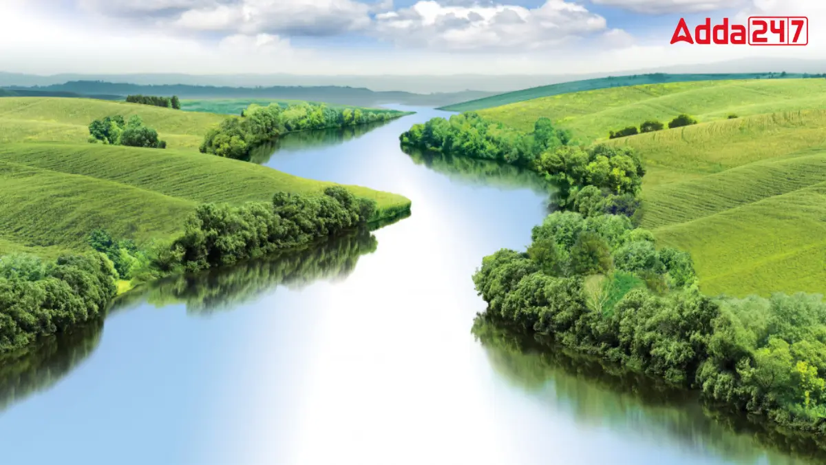
India has many different landforms, such as mountains, plateaus and rivers, which shape its geography. Some rivers act as natural boundaries, dividing major land regions. These divisions create unique landscapes with different climates, soil types and vegetation. Understanding these natural separations helps in learning about India’s physical features, agriculture and culture. One such river plays an important role in dividing two major landforms in the country.
Which India River Separates Central Highlands and Deccan Plateau?
The Narmada River is one of the major rivers of India, and it is special because it flows from east to west. This river forms a natural dividing line between two big land areas called the Central Highlands and the Deccan Plateau. As it travels, the Narmada River moves through a long valley that lies between the Vindhya mountains in the north and the Satpura mountains in the south.
Central Highlands
The Central Highlands are located north of the Narmada River. These highlands are part of the Peninsular Plateau of India. One of the major regions in the Central Highlands is the Malwa Plateau which lies in Madhya Pradesh.
Deccan Plateau
The Deccan Plateau is located south of the Narmada River. It is a large triangular-shaped landmass that slopes towards the east. The Deccan Plateau includes:
- The Maharashtra Plateau
- The Karnataka Plateau
- The Andhra Pradesh Telangana Plateau
An Overview of Narmada River
The Narmada River is the 5th longest river in India and the longest west-flowing river. It starts from the Amarkantak Plateau in Madhya Pradesh and flows 1,312 km through Madhya Pradesh, Maharashtra and Gujarat before reaching the Arabian Sea. Known as the “Lifeline of Madhya Pradesh and Gujarat,” it forms a rift valley between the Vindhya and Satpura ranges and creates an estuary, not a delt.

 Which is the Only Continent with No Tree...
 Which River is known as the National Riv...
 Which Place is known as the Little Tibet...


