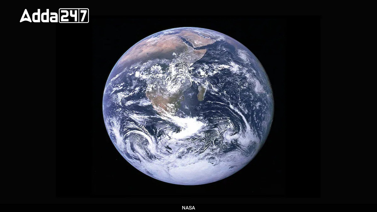
In a major technological advancement, NASA and Microsoft have collaborated to create “Earth Copilot,” an AI-driven chatbot aimed at democratizing access to complex Earth Science data. Earth Copilot leverages Microsoft’s Azure cloud and advanced AI capabilities to make NASA’s extensive geospatial data repository accessible to a broader audience. Traditionally complex and requiring expert knowledge, this data can now be retrieved using simple, plain-language queries, such as assessing the impact of hurricanes or monitoring climate change effects.
Simplifying Complex Geospatial Data
The collaboration is set to transform how people interact with NASA’s data, which encompasses critical information on climate, air quality, disaster response, and urban planning. The AI-powered chatbot handles data queries efficiently, allowing researchers, educators, policymakers, and climate experts to spend more time analyzing insights rather than retrieving data.
Democratizing Space-Borne Insights
By making geospatial data easier to access, Earth Copilot empowers diverse user groups. Researchers can quickly study environmental trends, while agricultural experts can optimize crop management using soil data. Educators gain real-world teaching resources, and policymakers can make informed decisions on pressing global issues like disaster readiness and climate change.
Integration and Future Outlook
Currently in its prototype phase and tested by NASA scientists, Earth Copilot is poised for integration into NASA’s VEDA platform for wider use. This strategic move aligns with both organizations’ missions to expand the reach and impact of Earth Science data, making knowledge about our planet accessible to all. As Satya Nadella emphasized, this advancement ensures that the complexities of geospatial science are navigated seamlessly.
What is Earth Science Data ?
Earth Science Data refers to information collected and analyzed to understand various physical and chemical processes occurring on Earth. This data includes measurements and observations related to:
Climate and Weather: Temperature, precipitation, wind patterns, and atmospheric pressure.
Land and Ecosystems: Data about soil composition, vegetation, land use, and natural habitats.
Water Bodies: Information on oceans, lakes, rivers, glaciers, and groundwater levels.
Natural Disasters: Earthquake records, hurricane impacts, flood levels, and volcanic activity.
Air Quality: Concentrations of pollutants, greenhouse gases, and aerosols in the atmosphere.
Summery of the News
| Key Point | Details |
|---|---|
| Why in News | NASA and Microsoft collaborated to create Earth Copilot, an AI-based chatbot simplifying access to NASA’s Earth Science data using Microsoft Azure. Currently in the prototype phase, it’s available only to NASA scientists. |
| Partnership | NASA and Microsoft |
| AI Tool | Earth Copilot |
| Platform Used | Microsoft Azure Cloud |
| Purpose of Collaboration | To make NASA’s complex geospatial data easily accessible using plain language queries. |
| User Access | Currently available for NASA scientists; broader integration planned with NASA’s VEDA platform. |
| Example Queries | Impact of hurricanes, climate change monitoring, air quality effects, etc. |
| NASA Team Involved | NASA IMPACT (Interagency Implementation and Advanced Concepts Team) |
| Microsoft Announcement | Made by Satya Nadella, Chairman and CEO of Microsoft, on X (formerly Twitter). |
| Future Integration | Planned for NASA’s VEDA platform for wider public use. |


 Has a Spanish Scientist Really Found a C...
 What is ISRO Confirms Gaganyaan Mission ...
 What Is Pragya-AIX and How Will It Trans...


