

The Himalayas are the world’s highest mountain range, stretching across Asia. They act as a natural border for many countries and influence their climate, culture and rivers. These mountains are home to famous peaks like Mount Everest. The Himalayas touch six countries, including India, Nepal and China. In this article, we will explore which countries share their borders with the Himalayas.
Length and Structure of the Himalayas
The Himalayas extend for about 2,400 kilometers in a curved shape from east to west. This vast range separates the Indian subcontinent from Tibet and Central Asia. The Himalayas are divided into three major parts:
- Great Himalayas: The highest and most prominent section, which includes Mount Everest.
- Middle Himalayas: A region of smaller peaks and valleys.
- Shivalik Himalayas: The outermost part of the range, with lower hills and forests.
Countries that Share Borders with the Himalayas
The Himalayas stretch across seven countries:
- India
- Nepal
- Bhutan
- China
- Pakistan
- Afghanistan
- Myanmar
The Importance of the Himalayas
The Himalayas are not just mountains; they are an essential part of life for millions of people.
- Religious Significance: Many Hindu, Buddhist and Jain pilgrimage sites, such as Kailash Mansarovar Badrinath, are located here.
- Rivers and Water Supply: Major rivers like the Ganga, Yamuna and Brahmaputra originate from the Himalayas, providing water for agriculture and daily life.
- Biodiversity: The region is home to rare animals like the snow leopard, red panda and musk deer.
- Climate Impact: The Himalayas influence the monsoon and help in maintaining the climate balance of the region.
Mount Everest – The Highest Peak
Mount Everest, located in Nepal, is the tallest mountain in the world at 8,848 meters. Many climbers from around the world attempt to reach its summit, making it one of the most famous mountains globally.

 Who is known as the Father of Mobile Pho...
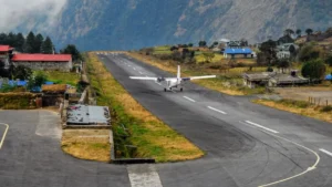 Which is the Highest Airport in the Worl...
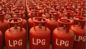 Which Country is the Largest Exporter of...


