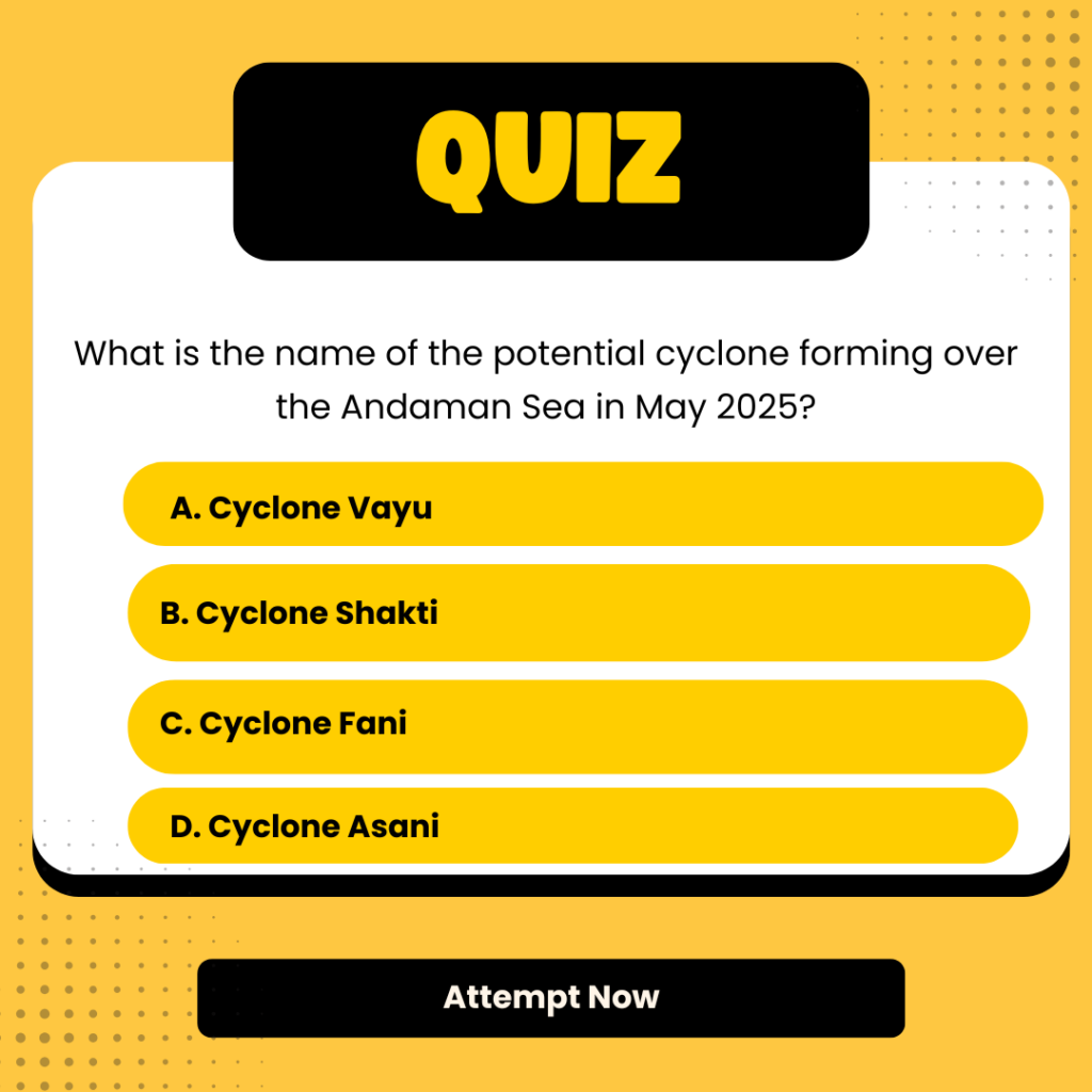
The India Meteorological Department (IMD) has identified an upper air cyclonic circulation over the Andaman Sea, which is expected to evolve into a low-pressure system between May 16 and 22. If intensification continues, it may develop into a cyclonic storm between May 23 and 28, to be named Cyclone Shakti (name proposed by Sri Lanka).
Potential Landfall:
- Timeframe: Between May 24 and 26
- High-risk zones:
- Odisha and West Bengal coasts (India)
- Khulna and Chattogram (Bangladesh)
Forecasters caution that the storm may bring strong winds, heavy rainfall, and storm surges, particularly in low-lying and coastal areas.
Impact of Cyclone Shakti on Indian Monsoon
The southwest monsoon has already advanced into parts of the south Bay of Bengal, south Andaman Sea, Nicobar Islands, and parts of the north Andaman Sea.
Meteorologists suggest that the evolving Cyclone Shakti system could influence:
- The timing and strength of monsoon onset over mainland India.
- Temporary shifts in wind patterns and rainfall distribution, particularly over the east coast.
The cyclone may initially enhance rainfall activity in eastern India but could delay the monsoon’s inland progress depending on its strength and movement.
Cyclone Shakti Latest Updates and Warnings
As of May 14, 2025, the IMD has issued the following alerts:
- Cyclonic circulation detected between 1.5 km and 7.6 km above sea level.
- System is currently tilting southwestward with height.
- Conditions are favorable for cyclogenesis (cyclone formation) by the third to fourth week of May.
- Coastal residents in Odisha, West Bengal, and Bangladesh are advised to stay alert.
- Emergency teams and disaster response units have been placed on standby.
IMD and regional meteorological centers are closely monitoring the system and will issue frequent updates.
Andaman Sea Cyclone Formation and Effects
The Andaman Sea is a known hotspot for pre-monsoon cyclogenesis due to:
- Warm sea surface temperatures
- Low wind shear
- Moist atmospheric conditions
The ongoing system marks a classic setup for tropical storm development. If conditions persist, Cyclone Shakti could:
- Disrupt marine operations in the Bay of Bengal
- Trigger preparatory evacuations
- Lead to early monsoon rainfall in eastern coastal states
- Affect aviation and shipping routes
The entire Andaman & Nicobar Islands are expected to experience heavy rainfall and gusty winds in the coming days.
Cyclone Shakti Rainfall Forecast in India
In addition to cyclone development, the IMD forecasts widespread rainfall across India through mid and late May.
Rainfall Zones:
- North India: Jammu & Kashmir, Delhi, Punjab, Haryana, Himachal Pradesh
- Central India: Chhattisgarh, East Rajasthan
- South India: Karnataka, Tamil Nadu, Kerala
- Eastern India: Odisha, West Bengal
Expected Conditions:
- Light to moderate rain
- Thunderstorms and lightning
- Gusty winds (up to 40–60 km/h)
- Isolated intense rainfall in cyclone-affected zones
Coastal and low-lying regions are particularly vulnerable to urban flooding and landslides.
Final Advisory: Preparedness and Monitoring
As the weather systems evolve, both IMD and state governments are issuing regular bulletins. Residents in coastal districts of Odisha, West Bengal, and the Andaman & Nicobar Islands are advised to:
- Identify cyclone shelters and evacuation routes
- Stock up on essentials and medicines
- Avoid sea travel and fishing activities
- Follow updates from official sources only


 Raja Ravi Varma Painting Breaks Records ...
 Shah Rukh Khan Debuts in Hurun Global Ri...
 A Tribe With No Word for "Time"? Inside ...


