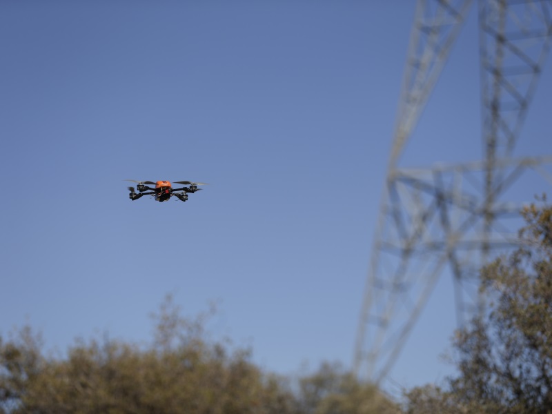
The state government of Madhya Pradesh has decided to employ drones for mapping of villages. The state revenue department of Madhya Pradesh has entered into an agreement with the Survey of India, under the Ministry of Science and Technology. The Survey of India is the India’s national mapping agency.
Drones will be used for the mapping of 55 thousand villages of the state on a scale of 1:500. The mapping on such a scale will provide a clearer picture of the population area. This work of land survey in the state was earlier used to be done with the help of satellite images.
Important takeaways for all competitive exams:
- Chief Minister of Madhya Pradesh: Kamal Nath; Governor: Lal Ji Tandon.


 Which District of Uttar Pradesh is known...
 Which Mountain is known as the Stone Sen...
 Brazil Creates History! Lucas Pinheiro B...


