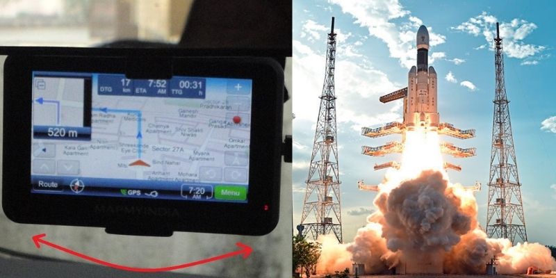
India’s homegrown app MapMyIndia ties up with ISRO to build an alternative to Google Maps. The agreement between ISRO and MapmyIndia is suggested to become an alternative to Google maps and similar platforms. The collaboration with MapMyIndia will turn out to be a benefit for users because it will use digital maps of MapmyIndia and satellite imagery and earth observation data of ISRO.
WARRIOR 5.0 Batch for SBI, RRB, RBI and IBPS Exams Banking Awareness Online Coaching | Bilingual
According to this collaboration the mapping data along with the information regarding pollution, agricultural output, weather, land-use changes, flood and several disasters will be visible to the users. Rohan Verma, CEO of MapmyIndia, called the agreement a path-breaking milestone with the aim of fulfilling the objective of Atamanirbhar Bharat.
About the app:
- The app will benefit the Indians because it will ensure the maps according to the true sovereignty of India while depicting the Indian borders as per the Indian government. The Department of Space signed an MoU with CE Info Systems Private Limited, a geospatial technology company owned by MapmyIndia.
- The most exhaustive digital map database of the country was created indigenously over the last 25 years by MapmyIndia covers 7.5 lakh Indian villages, 7500+ cities at the building and the street level which are connected through a road network of almost 63 lakh kilometres.
- ISRO generates earth observations and satellite imagery through its satellite constellation. ISRO will be more responsive in terms of satellite imagery needed by the Indians, required especially during crises and disasters.
Important takeaways for all competitive exams:
- ISRO Chairman: K.Sivan.
- ISRO Headquarters: Bengaluru, Karnataka.
- ISRO established: 15 August 1969.


 List of National and International Organ...
 DBT Marks 40 Years; Dr Jitendra Singh La...
 7th All India Conference of GRP Chiefs C...


