
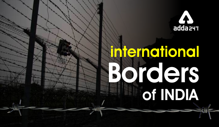
International Borders of India
An international borderline depicts the separation of two different countries. For example, the India Pakistan border separates India and Pakistan with a 3323 km long international border. An international model line divides two different countries and marks the territorial limits between the two countries. India has 15106.7 km long land borders which run through 18 states and 92 districts including the union territories. India shares its international land borders with 7 different countries. The seven countries that share international borders with India are Bangladesh China Afghanistan Myanmar Bhutan Nepal and Pakistan. It shares maritime borders with Sri Lanka Maldives and Indonesia.
The coastline of India is 7516.6 km long which brushes approximately 13 states and union territories. The longest international borders of states and union territories are, West Bengal is 2509.7 km long, Rajasthan is 1170 km and Arunachal Pradesh is 1817 km long. Nagaland has the smallest international borders, it is 125 km. Ladakh is the only union territory to have three international boundaries with three different countries, Ladakh has its international borders with Pakistan China, and Afghanistan.
Buy Prime Test Series for all Banking, SSC, Insurance & other exams
States in India that share International Borders
- India Pakistan Borders is of 3233 km. The border touches Jammu and Kashmir, Punjab, Rajasthan, and Gujarat
- India and China’s border is 3488 km. The border touches Himachal Pradesh, Uttarakhand, Arunachal Pradesh, Jammu and Kashmir, and Sikkim.
- India Nepal border is 1770 km. The border touches Bihar, Uttarakhand, Uttar Pradesh, West Bengal, and Sikkim.
- India and Bhutan’s border is 699 km. The border touches Arunachal Pradesh, Sikkim, Assam, and West Bengal
- India and Myanmar’s border is 1643 km. The border touches Arunachal Pradesh, Nagaland, Mizoram, and Manipur.
- India and Bangladesh’s border is 4156 km. The border touches Bengal, Assam, Meghalaya, Tripura, and Mizoram.
- India and Afghanistan’s border is 106 km. The border touches Jammu and Kashmir.
Important Boundary lines of India
- Line of Control (LOC)- the border between India and Pakistan which touches the State Jammu and Kashmir is known as the line of control. This border is under military control and it was originally known as the ceasefire line. The crease fire line was renamed as a line of control or LOC after the agreement of Shimla in 1972.
- Line of actual control (LAC)- the border between India and China is known as the line of actual control. It was originally a ceasefire line which after the war was turned into a line of actual control or LAC. LAC separates India and China.
- Durand line- Durand line separates India and Afghanistan and it was demarcated by Sir Mortimer Durand, a British diplomat. It was established in the year 1896 and it is known by the name of the British diplomat Sir Mortimer Durand. Durand line touch is the State Jammu and Kashmir in India. The international borderline between India and Afghanistan is mostly captured by Pakistan, but some parts of it still touch India and the borderline between Afghanistan and India is 106 km.
- Radcliffe line-Radcliffe line divides India and Pakistan and it is named after the architect, Sir Cyril Radcliffe. He was the chairman of the boundary commission and The Radcliffe line was established in August 1947. the Radcliffe of the line was drawn between India and Pakistan on the Western side and India and Bangladesh on the eastern side.
- McMahon line- It is the international boundary line that divides India and China. It was signified when India and Tibet signed a convention at the Shimla on 3rd July 1914. Sir Henry McMahon was the foreign secretary of the British government, who determined the McMahon Line.
FAQ Related to international borders of India
Q1.How many countries share the land border with India?
Ans. India shares its land borders with 7 countries, Bangladesh, China, Pakistan, Nepal, Myanmar, Bhutan, and Afghanistan
Q2.Which country has its share border to the East?
Ans. India shares its border with 7 different countries and to the East, it shares its border with Myanmar, which is 1624 km long.
Q3.Which Indian states share borders with Bangladesh?
Ans. India shares its model with Bangladesh which is 4156 km. The Indian states that share the border with Bangladesh are Assam, Tripura, Meghalaya, Mizoram, and West Bengal.
Q4.What is the India Afghanistan border called?
Ans. The India Afghanistan border is called as Durand line. It was established in the year 1893 between British India and the Emirates of Afghanistan.
Q5.How long are India’s land borders?
Ans. India’s land border is 15106.7 km long and runs through 92 districts in 18 states and union territories.


 Friendship Day 2026: Date, History, Sign...
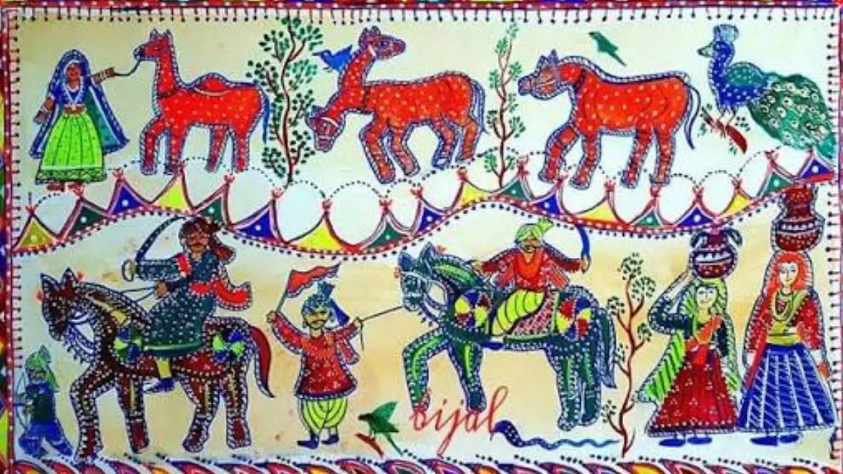 Gujarat's Pithora Painting Receives GI T...
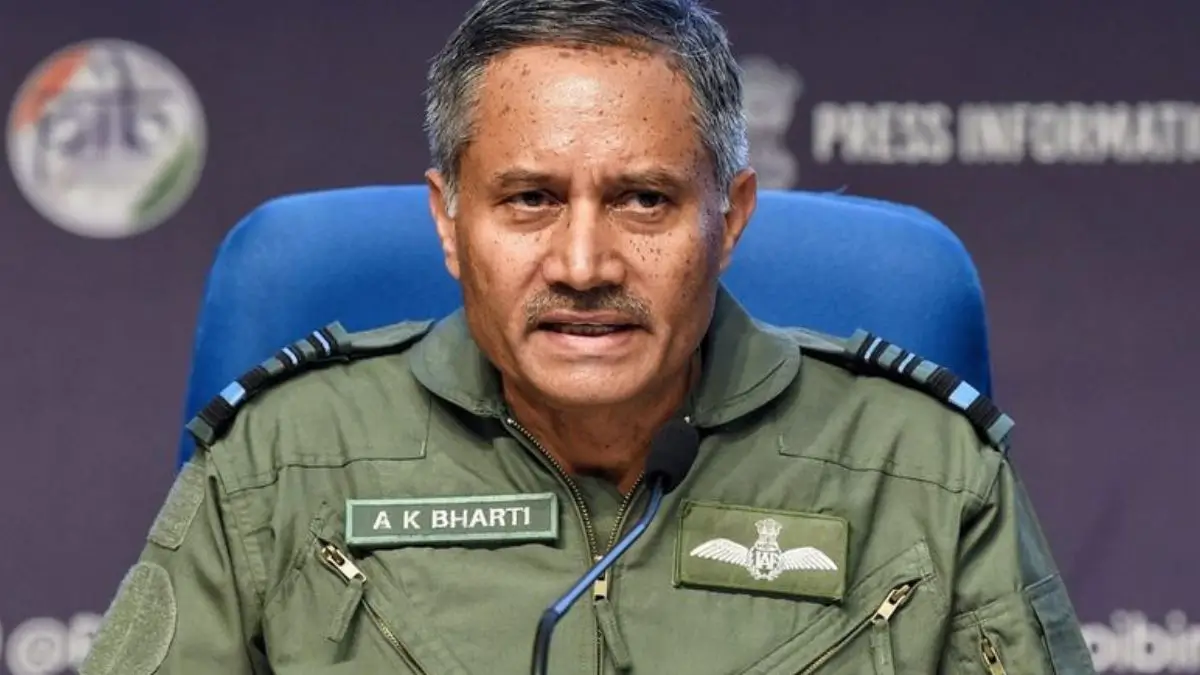 Air Marshal A K Bharti, Face of Operatio...

