
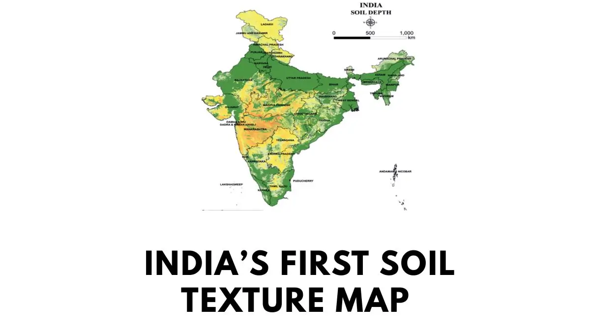
India has come up with its first-ever Soil Texture Map by the National Bureau of Soil Survey and Land Use Planning (NBSS&LUP). This map gives digitized information on soil texture on a hectare-wise basis and provides a lot of physical insight into the soil texture in the country. The map has been launched on 16th July 2026 and will be helpful in crop planning, irrigation planning, soil classification and land-use planning. The map is prepared with the help of field study, remote sensing and artificial intelligence techniques.
What is Soil Texture Map?
The Soil Texture Map is a comprehensive digital data base that shows the pattern of soil texture distribution and characteristics in various regions of India. This map has been created by NBSS&LUP, which is an institution functioning under the umbrella of Indian Council of Agricultural Research (ICAR), Nagpur, Maharashtra.
The map contains soil data at very high resolution, namely one hectare. High resolution makes it possible to identify variations in soil characteristics, even in smaller geographical areas.
What is Soil Texture?
Soil texture means the presence and proportion of the following mineral particles in soil – sand, silt and clay.
Proportion of these minerals affects many physical features of soil including water holding capacity, drainage, aeration and the crops that can be grown on particular type of soil.
Thus, soils having higher amount of sand drain water fast, whereas soils containing greater proportions of clay can hold more water. So understanding the features of soil texture is important while choosing the type of crop and irrigation schedule.
How did NBSS&LUP Create Soil Texture Map?
NBSS&LUP made use of conventional methods of soil mapping along with advanced digital technologies to create the map.
The process involved observations of soil, remote sensing, satellite images and artificial intelligence-based analyses. The ground data about soil texture has been combined with geospatial databases to classify the soil texture.
Potential Uses of India’s First Soil Texture Map
There are a number of potential uses of India’s first soil texture map. One of them is the possibility to assist in selecting better adapted crops to particular soil conditions. The hectare level information makes it possible to make decisions about crop suitability mapping that will allow to make agricultural decisions more location-oriented in contrast with regional soil classification.
The soil texture map is also useful for irrigation planning purposes, because soil texture affects the speed of the water movement and amount of moisture that can be retained by the soil. In other words, it helps to plan better water management strategies.
Moreover, governmental agencies are able to use this map for making village-level agricultural planning and allocating resources to the agricultural land.
Why Is Soil Texture Map Important for India?
India has a wide variety of soils and agricultural landscapes. However, farms in India are quite small, which means that soil type can differ a lot even within the same farm.
It is obvious that hectare-level soil texture map gives more accurate information than broader maps. It is particularly useful for precision agriculture when farm-level decisions depend on precise information about soil, water and crops.








 Parliamentary Panel Reshuffle 2026: Full...
 19th Pravasi Bharatiya Diwas Convention ...
 India Demonstrates First 5.56-km Free-Sp...