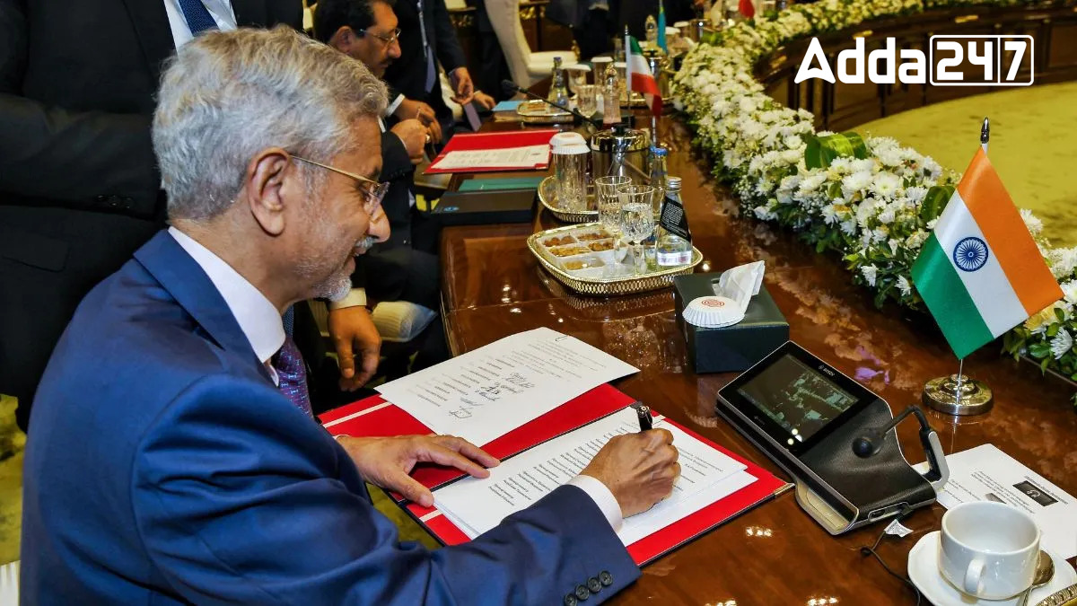
The Shanghai Cooperation Organisation (SCO) Summit, held in Islamabad on October 15-16, 2024, gathered high-level officials from member states to address regional security, economic cooperation, and terrorism. India’s External Affairs Minister S Jaishankar, along with leaders from China, Russia, Iran, and Central Asian countries, attended the event. Despite strained India-Pakistan relations and ongoing China-India border disputes, the summit provided a platform for multilateral dialogue, but no bilateral talks were expected.
Key Attendees and Strategic Issues
Participants: Leaders from India, China, Russia, Iran, Kazakhstan, Kyrgyzstan, Tajikistan, Uzbekistan, and Mongolia participated, with Belarus joining as the newest member.
Security Focus: The summit emphasized combating terrorism and regional stability through SCO’s Regional Anti-Terrorist Structure (RATS) and cross-border cooperation.
Economic Cooperation: Discussions also revolved around energy, climate change, and infrastructure projects, with India advocating for the IMEC and Chabahar initiatives for improved connectivity.
India’s Role and Key Challenges
Geopolitical Tensions: India maintained its stance on countering cross-border terrorism and addressed tensions with China over the Line of Actual Control (LAC).
Internal Challenges in Pakistan: The summit was marked by political unrest in Pakistan, with protests against Prime Minister Shehbaz Sharif’s government and heightened security measures.
Shanghai Cooperation Organization (SCO)
The Shanghai Cooperation Organization (SCO) is a permanent intergovernmental international organization established on June 15, 2001, in Shanghai, China. Its primary aim is to promote cooperation in political, economic, and security-related matters, especially across Eurasia. It is now one of the largest regional organizations in the world.
Key Facts About SCO
Founding Members: China, Russia, Kazakhstan, Kyrgyzstan, Tajikistan, and Uzbekistan.
Expansion: India and Pakistan joined as full members in 2017, and Iran became a member in 2023. Belarus was added as the 10th member in 2024.
Headquarters: Based in Beijing, China.
Main Goals: To foster peace, security, and stability in the region, counter terrorism, separatism, and extremism, and promote economic cooperation among member states.
Key Structures
Heads of State Council: The highest decision-making body.
Heads of Government Council: Focuses on economic issues.
Regional Anti-Terrorist Structure (RATS): Focused on combating terrorism, extremism, and separatism.
Challenges Associated with SCO: Geopolitical and Strategic Concerns
Geopolitical Challenges
The inclusion of members with conflicting interests calls the relevance of the SCO into question amid a dysfunctional global geopolitical environment.
China-Pakistan-Russia Dominance
India faces difficulties asserting itself within the SCO due to the strong influence of China and Russia, which are co-founders and dominant forces in the organization.
Expansion and Dilution of Mandate
The growing membership risks diluting the original priorities of the SCO, with new members potentially shifting focus away from core objectives.
Counter-Terrorism Issues
Despite counter-terrorism being a central mandate, the SCO has struggled to effectively address cross-border terrorism and the growing drug trade, especially in areas like the Golden Crescent.
Anti-Western Stance
India must carefully balance its engagement with the West as the SCO traditionally adopts an anti-Western posture, with some members leveraging Afghanistan and the Taliban for geo-strategic gains.
Way Forward
India advocates for strengthening cooperation on terrorism and drug trade while urging member nations to transcend bilateral disputes. The SCO must focus on evolving to remain relevant, ensuring its core mandate is not diluted and adapting to meet regional needs effectively.
SCO Summit Held in Islamabad
| Why in News |
Key Points |
| SCO Summit Details |
Held on October 15-16, 2024, in Islamabad. Attended by officials like India’s EAM S. Jaishankar. |
| Main Discussions |
Focused on regional security, economic cooperation, and combating terrorism. |
| Participants & Key Issues |
Full members: China, Russia, India, Pakistan, Iran, Central Asian states; Belarus joined in 2024. |
| Agenda |
Terrorism via RATS, energy and climate change, infrastructure projects. |
| Geopolitical Tensions |
India addressed tensions with China over LAC and highlighted countering cross-border terrorism. |
| Internal Situation in Pakistan |
Political unrest and protests against PM Shehbaz Sharif affected the summit’s atmosphere. |
| About SCO |
Established: June 15, 2001; Headquarters: Beijing; Founders: China, Russia, Central Asian nations. |
| Membership Growth |
India, Pakistan joined in 2017; Iran in 2023; Belarus in 2024. |
| Key Structures of SCO |
Heads of State Council (highest body), Heads of Government Council (economic focus), RATS. |
| Challenges for SCO |
Conflicting interests, dominance of China-Pakistan-Russia, mandate dilution, inefficacy issues. |
| India’s Position |
Advocates counter-terrorism, regional stability, and economic collaboration, avoiding disputes. |
Previous Year Question Asked from SCO Summits:
Q1. When did India and Pakistan become full members of the SCO? (Exam Name: SSC CGL 2018)
(a) 2016
(b) 2017
(c) 2018
(d) 2019
Solution: India and Pakistan were admitted as full members of the SCO during the Astana Summit held in Kazakhstan in 2017. This was a significant expansion for the SCO, which previously consisted of six members: China, Kazakhstan, Kyrgyzstan, Russia, Tajikistan, and Uzbekistan.
Q2. Which of the following is NOT a founding member of the Shanghai Cooperation Organisation (SCO)? (Exam Name: IBPS PO 2020)
(a) China
(b) India
(c) Russia
(d) Kazakhstan
Solution: The SCO was founded in 2001 by six countries: China, Russia, Kazakhstan, Kyrgyzstan, Tajikistan, and Uzbekistan. India became a full member only in 2017. Hence, India is not one of the founding members.
Q3. The headquarters of the Shanghai Cooperation Organisation (SCO) is located in which city? Exam Name: UPSC CDS 2019
(a) Beijing
(b) Moscow
(c) Astana
(d) Tashkent
Solution: The headquarters of the SCO is located in Beijing, China. The organisation was established in 2001, and its main objectives include strengthening mutual trust and neighbourly relations among member states.
Q4. The SCO Peace Mission exercise in 2018 was hosted by which country? (Exam Name: CAPF (AC) 2019)
(a) India
(b) Russia
(c) China
(d) Kazakhstan
Solution: The 2018 SCO Peace Mission was held in Russia. It was a joint military exercise involving the eight full members of the SCO, including India and Pakistan, aimed at improving coordination in counter-terrorism operations.
Q5. Which of the following countries is NOT a member of the SCO? (Exam Name: RRB NTPC 2020)
(a) Iran
(b) India
(c) Pakistan
(d) Afghanistan
Solution: As of now, Afghanistan is not a full member of the SCO, although it has observer status. The full members of the SCO include China, India, Kazakhstan, Kyrgyzstan, Pakistan, Russia, Tajikistan, and Uzbekistan. Iran is also in the process of becoming a full member.


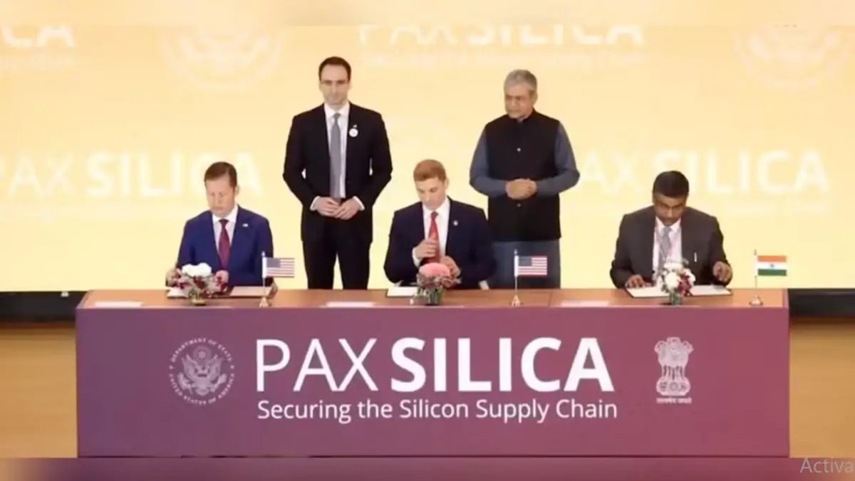 35 Nations Sign AI Opportunity Statement...
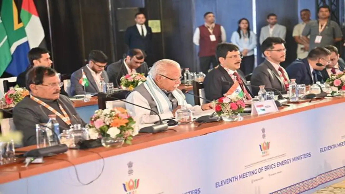 India Hosts the 11th BRICS Energy Minist...
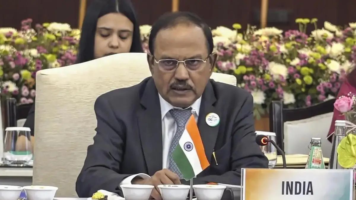 India to Host BRICS National Security Ad...

