
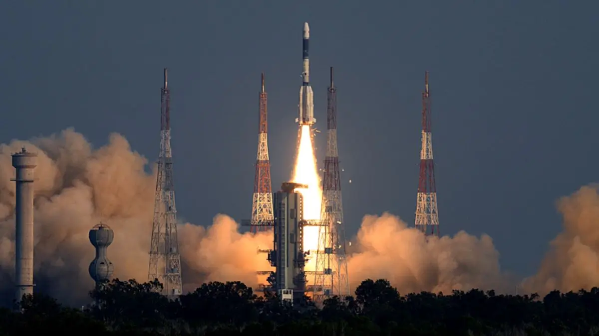
Indian Space Research Organization (ISRO), the NVS-03 navigation satellite will be launched on October 30ht 2026, by using the Geosynchronous Satellite Launch Vehicle (GSLV) Mk II from the Satish Dhawan Space Center in Sriharikota, Andhra Pradesh. The main objective of this satellite is to enhance the capabilities of the Navigation with the Indian Constellation (NavIC), which is India’s homegrown satellite-based navigation system. NavIC has had some operational issues due to problems such as satellites breaking down and atomic clocks failing.
What Is NVS-03?
NVS-03 is the second generation of the NavIC navigation satellite that is under development by ISRO. It will be one of the five second generation satellites named NVS-01 to NVS-05, which will offer improved service continuity and enhanced navigation services.
The satellite set to be launched on board the Geosynchronous Satellite Launch Vehicle (GSLV) Mk II from the Satish Dhawan Space Centre located at Sriharikota. The launch of the satellite has been postponed till October 30, 2026, due to delays caused by ISRO’s cautious approach following their previous launch failures.
Introduction to NavIC
NavIC is the independent satellite navigation system developed by India. The system provides PNT services all over India and in a region that extends 1,500 km from the Indian border. As opposed to the United States’ GPS that covers the whole world, NavIC caters to the needs of India only.
There are two main types of NavIC services available,
- Standard Positioning Service (SPS): It is for civilian and other general users.
- Restricted Service (RS): It is an encrypted service for authorised users.
It can be used for various purposes like navigation of vehicles on land, in air and sea; vehicle tracking; fleet management, disaster management and precise timing.
Why is NVS-03 Required by NavIC?
NavIC has experienced difficulties in operation due to satellite failures, exhaustion of the lifespan of some satellites and also issues related to the onboard atomic clock. This is because it is important as satellite navigation relies on measuring the time taken for signal transmission between satellites and the receiver.
According to an answer provided by the Department of Space to Parliament on July 29, 2026, there were only three functioning satellites namely IRNSS-1B, IRNSS-1I and NVS-01 offering the PNT services. The government has said that for basic stand-alone positioning, four functioning satellites are necessary and so NavIC could not offer this at the time.
How Atomic Clocks Are Used For Satellite Navigation
Atomic clocks are used for highly accurate clocking of navigation satellites. The receiver calculates its location using the arrival time of signals received from various satellites. Any slight inaccuracy in the time measurement results in large inaccuracy of the calculated location.
The ISRO has also been working on building indigenous technology for timing of the navigation satellites. The atomic clock monitoring system built by the Space Application Centre was used in IRNSS program and was flown on NVS-01.








 DCGI Approves Zytorvi (Toripalimab) for ...
 NASA’s PUFFINS Mission: Indian-Origin ...
 ISRO Successfully Completes Crew Moduleâ...