
On the occasion of National Panchayati Raj Day the Indian Space Research Organization (ISRO) has announced that the major milestone to supporting rural governance. This agency has completed the high-resolution land use and land cover mapping for the entire country. This initiative aims to empower the local bodies with accurate data for the better planning and the decision-making. ISRO is playing the important role to promoting the data-driven development at the grassroots level.
Key Highlights of The ISRO’s Nationwide Land Mapping
ISRO’s achievement have marks the important step towards to modernize the rural planning systems in India.
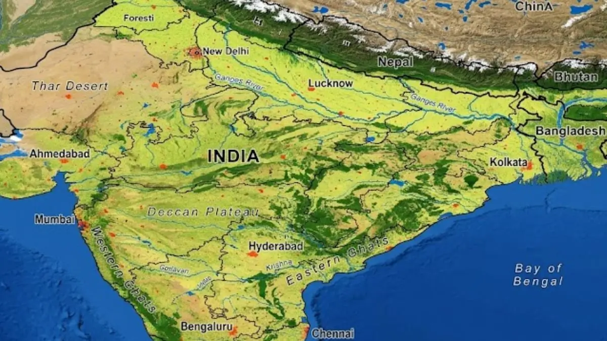
This mapping project will provides the detailed data for the land usage patterns across the country.
- Key highlights includes the high-resolution mapping at 1:10,000 scale.
- It has the coverage of the entire country and also the data made available to government organizations.
- Also the main focus on land use and land cover analysis.
This level of the detailing ensures the precise planning and the efficient resource utilization.
How This Supports Gram Panchayat Development
This mapping data directly contributes to the improving the planning at the village level. It has been integrated into the Grammanchitra portal which is developed by the Ministry of Panchayati Raj.
- This integration helps in to preparing Gram Panchayat Development Plans (GPDPs).
- Also this will enables the data-driven decision-making and also help to identifying land resources and usage patterns.
- Also improve the transparency and accountability.
With the accurate geospatial data the local authorities can plan the infrastructure, agriculture and the resource management more effectively.
Role of Geospatial Technology in Governance
The Geospatial technology uses the satellite data and mapping tools to provide the detailed information about land and resources.
ISRO’s initiative demonstrates how the such technology can transform governance.
It enables the better resource allocation, the improved monitoring of development projects and also the scientific planning based on real-time data.
It will also to boost the disaster management and environmental monitoring.
This approach will be reduces guesswork and ensures evidence-based policymaking.
Collaboration with Ministry of Panchayati Raj
This work of ISRO is the part of the collaboration with the Ministry of Panchayati Raj.
The main goal is to strengthen the decentralized governance with the local bodies by using the advanced tools and data.
This partnership is focuses on to the empowering the Gram Panchayats which will promote the bottom-up planning.
It will also support the sustainable rural development.
What is Land Use and Land Cover Mapping?
The Land use and land cover (LULC) mapping refers to the classification of land which is based on how it will be used and what exists on it.
Land Use: Human activities (in agriculture, urban areas, industries)
Land Cover: Physical features (in forests, water bodies, barren land)


 Government to Introduce Bill Making Insu...
 India's First Hydrogen Fuel Cell Train: ...
 Cabinet Approves Semicon 2.0: ₹1.27 La...

