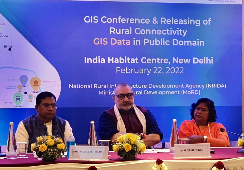
Giriraj Singh, who is the Union Minister for Rural Development and Panchayati Raj, has released the Rural Connectivity GIS Data in Public Domain. This data includes the GIS data for more than 8 lakh rural facilities which have been collected and digitised using the GIS platform developed for the PM-GSY scheme. Other than Giriraj Singh, other Union Ministers like Faggan Singh Kulaste and Sadhvi Niranjan Jyoti, were also present at the release event.
Buy Prime Test Series for all Banking, SSC, Insurance & other exams
On this event, Giriraj Singh recalled that since the inauguration of this scheme:
- An estimate is that more than 6.90 lakh km of roads have been constructed, which connects 1,61,508 habitations with an expenditure of about 2.69 lakh crores of Indian rupees.
- Speed of the construction of rural roads under the PMGSY has seen massive growth during the last few years and the use of new technology has been emphasized which has resulted in a saving of about 5000 crores of Indian rupees.
- The data which has been made available in the public domain can be beneficial to the startups, entrepreneurs, businesses, civil society, academics and other government departments to build products, conduct research, and plan investments for a quicker disaster response.
What is PM-GSY?
Pradhan Mantri Gram Sadak Yojana (PMGSY) is a scheme that was launched in the year 2000, with an objective to provide all-weather road connectivity to all the unconnected habitations throughout the nation which lie under the eligibility criteria. The plan was upgraded later. Since then, 7.83 lakh Km roads have been sanctioned and 6.90 lakh Km have been constructed with an expenditure of about 2.69 lakh crores of Indian rupees.
What is Gati Shakti?
Gati Shakti is a national master plan and digital platform which aims at the planning and execution of infrastructure projects in India to reduce logistics costs and enhance infrastructure.


 Weekly Current Affairs One Liners 16th t...
 Which District is known as the Medical C...
 Which was the First Women's University i...


