
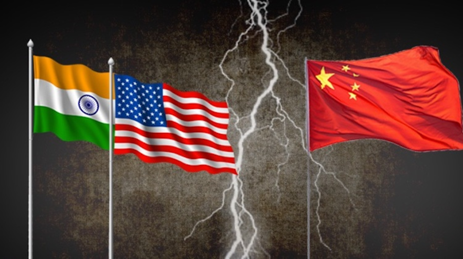
A bipartisan resolution was passed by the US, formally recognizing the McMahon Line as the international boundary between China and India’s Arunachal Pradesh. The resolution rejected China’s claim that the state belongs to its territory and instead acknowledged Arunachal Pradesh as an integral part of India. Furthermore, the resolution expressed support for India’s sovereignty and territorial integrity.
Buy Prime Test Series for all Banking, SSC, Insurance & other exams
What is the US Resolution:
The resolution, titled ‘Reaffirmation of Arunachal Pradesh as Indian territory and condemnation of China’s provocative activities in South Asia’, came after a major clash between the Indian and Chinese forces in Arunachal’s Tawang in December last year.
More About the US Resolution:
Apart from recognising the McMahon Line, the resolution also condemned Chinese provocations in the region, including China’s use of military force to change the status quo along the Line of Actual Control, construction of villages in contested areas, publication of maps with Mandarin-language names for cities featuring Arunachal Pradesh, and expansion of Beijing’s territorial claims over Bhutan.
What is the McMahon Line?
- The McMahon Line serves as the de facto boundary between China and India in the Eastern Sector. It specifically represents the boundary between Arunachal Pradesh and Tibet, from Bhutan in the west to Myanmar in the east.
- China has historically disputed the boundary and claims the state of Arunachal Pradesh as part of the Tibetan Autonomous Region (TAR).
Current status on the McMahon Line:
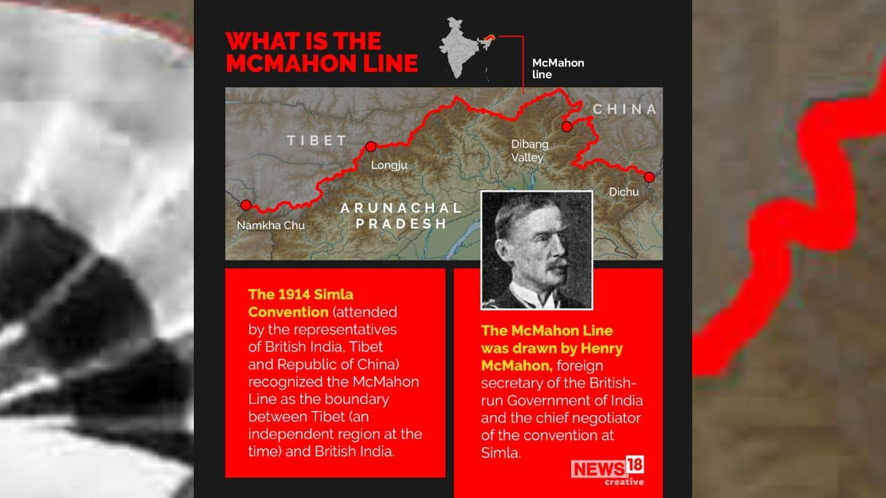
- India recognizes the McMahon Line and considers it to be the ‘Actual Line of Control (LAC)’ between India and China, while China does not recognize the McMahon Line. China says that the area of the disputed area is 2,000 kilometers while India claims it is 4,000 kilometers.
- This land dispute between India and China is in Tawang (Arunachal Pradesh), which China considers as the Southern part of Tibet. According to the Shimla Agreement it is a part of the Indian state Arunachal Pradesh.


 Weekly Current Affairs One Liners (27th ...
 Friendship Day 2026: Date, History, Sign...
 Gujarat's Pithora Painting Receives GI T...

