The India UN Map Resolution controversy came to notice as New Delhi supported a United Nations resolution aimed at achieving better accuracy in mapping the world. New Delhi supported the proposal, yet clarified that it was only in relation to using equal-area map projections. According to the Ministry of External Affairs, the voting did not imply endorsement of any specific world map or change in its stand on borders. It is also worth noting that India made it clear that Jammu and Kashmir and Ladakh should be depicted according to the Indian map.
Why Does India Back the UN Map Resolution?
India backs the cartographic principle underlying the UN map resolution, which encourages map-making with accurate relative sizes of the landmasses.
The resolution, tabled by Togo, is called “Correct the Map: Rebalancing Global Cartographic Representation and Promotion of Equitable Representation of the World’s Regions, Particularly Africa.”
The resolution encourages cartographers to think more about the use of equal area projections, which try to depict continents’ relative sizes better than projections like Mercator projection.
The UN General Assembly passed the resolution by 164 votes to 1, with the USA being the only country opposing the resolution.
Position of India Regarding Jammu and Kashmir and Ladakh
Despite being supportive of the resolution, India was explicit about the resolution being read as the endorsement of a certain map of its territory.
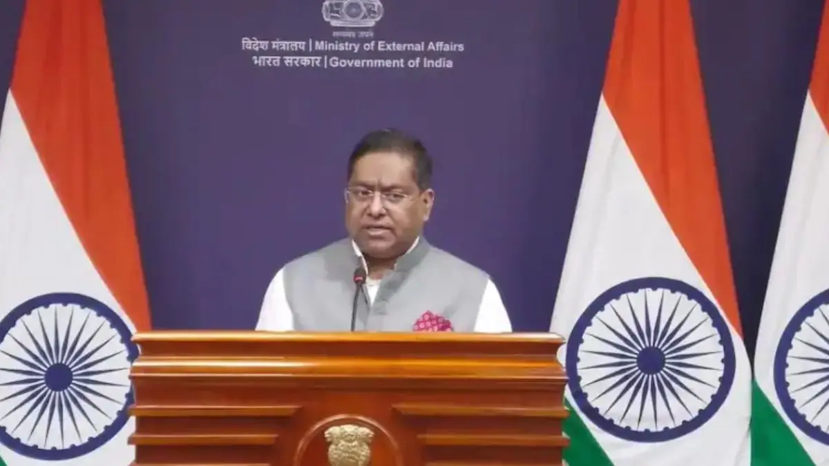
According to the spokesperson for the Ministry of External Affairs, Randhir Jaiswal, India supported the resolution but did not see it as an endorsement of any particular map or projection of its national borders.
India was categorical that the sovereign territory of India, including the Union Territories of Jammu and Kashmir and Ladakh, had to be mapped according to the official map of India.
What Issues Does the UN Resolution Really Cover?
The resolution centers on cartographic representations, especially those resulting from specific projections used in the mapping process. The resolution does not recognize any particular map of the world.
India made it clear that the resolution does not deal with political cartography, such as international borders or disputed areas or place-names.
This point formed the basis of New Delhi’s rationale for its vote.








 PM-VBRY Scheme: EPFO Offers Up to ₹15,...
 Global Hunger Index 2026: India Ranks 10...
 Sudhakar Dalela Appointed as India’s N...