
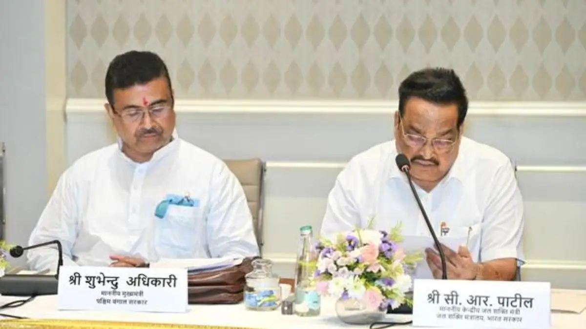
The Ministry of Jal Shakti of India introduced the mobile application Punah Bharan on 28th of October 2026, which is useful for scientifically planning artificial groundwater recharge. The BISAG-N (Bhaskaracharya National Institute for Space Applications and Geo-informatics) and NWM (National Water Mission) together developed this application, which is able to find suitable zones for artificial groundwater recharge by utilizing geospatial information in a radius of up to 3 km. In addition, the web portal of this application offers GIS maps for the villages.
What Is the Punah Bharan Mobile Application?
Punah Bharan is a geospatial technology-based platform that is built with the aim of identifying sites for artificial groundwater recharge. This platform integrates location-based analysis with the hydro-geographic conditions of the location.
The application allows users to find out possible recharge zones and the suitable structures of the recharge in a selected location. The web portal of this application contains further tools for planning purposes, such as village-level Artificial Recharge Structure (ARS) zonation maps and GIS.
Punah Bharan App Features
This application offers wide features such as,
- Recharge-zone Identification
- Village-Level Mapping
- GIS-based Analysis
- Local Suitability Assessment
- Scientific Planning
Geospatial Data Employed by the Platform
The Punah Bharan platform uses various geospatial datasets to determine the suitability of sites for artificial groundwater recharge.
| Data set | Relevance to recharge analysis |
| Rainfall | Used to identify rainfall trends in a particular region. |
| Groundwater levels | Gives information regarding the status of groundwater in the region. |
| Groundwater yield | Utility in analysing groundwater-related features of a site. |
| Slope | Used in analysing the topographical features of a site. |
| Drainage | Used in analyzing surface water flows. |
The combination of such datasets gives a better perspective on regional conditions than a single parameter alone.
Organizations Associated with the Punah Bharan Initiative
- BISAG-N: The Bhaskaracharya National Institute for Space Applications and Geo-informatics (BISAG-N) created the app.
- National Water Mission (NWM): The National Water Mission worked with BISAG-N to develop the app. This mission functions within the Department of Water Resources, River Development and Ganga Rejuvenation in the Ministry of Jal Shakti.
- Ministry of Jal Shakti: The Ministry of Jal Shakti is a union government ministry that works on various aspects related to water policy and management, such as water resources and drinking water and sanitation.





 Centre Approves 3% DA Hike for Central G...
 Government Introduces Concessional Local...
 Centre Permits E100 Ethanol Fuel in Flex...