
Uttar Pradesh, India’s most populous state, spans from the fertile plains of the Ganges to the foothills of the Himalayas, showcasing a diverse landscape. The northernmost district of Uttar Pradesh occupies a distinct geographic and cultural niche within the state, characterized by its proximity to the Himalayan foothills and its rich cultural heritage.
An Overview of Uttar Pradesh State
Uttar Pradesh, India’s largest state by population, is renowned for its cultural richness and historical significance. It spans from the fertile Gangetic plains in the south to the Himalayan foothills in the north, offering a diverse landscape. With cities like Lucknow and Agra famed for their architectural wonders, and Varanasi as a cultural hub, Uttar Pradesh is a vibrant blend of tradition, spirituality, and economic dynamism.
Administrative Structure of Uttar Pradesh
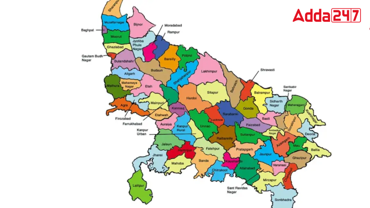
Uttar Pradesh comprises 75 districts grouped into 18 divisions, with administrative units called tehsils numbering 351, and 17 municipal corporations. Lakhimpur Kheri stands as the state’s largest district, covering an expansive 7,680 square kilometers, whereas Hapur is the smallest, spanning just 660 square kilometers.
Geographical Extremes of Uttar Pradesh
- Northernmost District: Saharanpur
- Southernmost District: Sonbhadra
- Easternmost District: Ballia
- Westernmost District: Shamli
Northernmost District in Uttar Pradesh
Saharanpur district, situated in the northern part of Uttar Pradesh, India, holds the distinction of being the state’s northernmost district. It shares borders with Haryana, Himachal Pradesh, and Uttarakhand, nestled near the foothills of the Shivalik range. This region is strategically positioned within the Doab area, known for its geographical diversity and cultural significance.
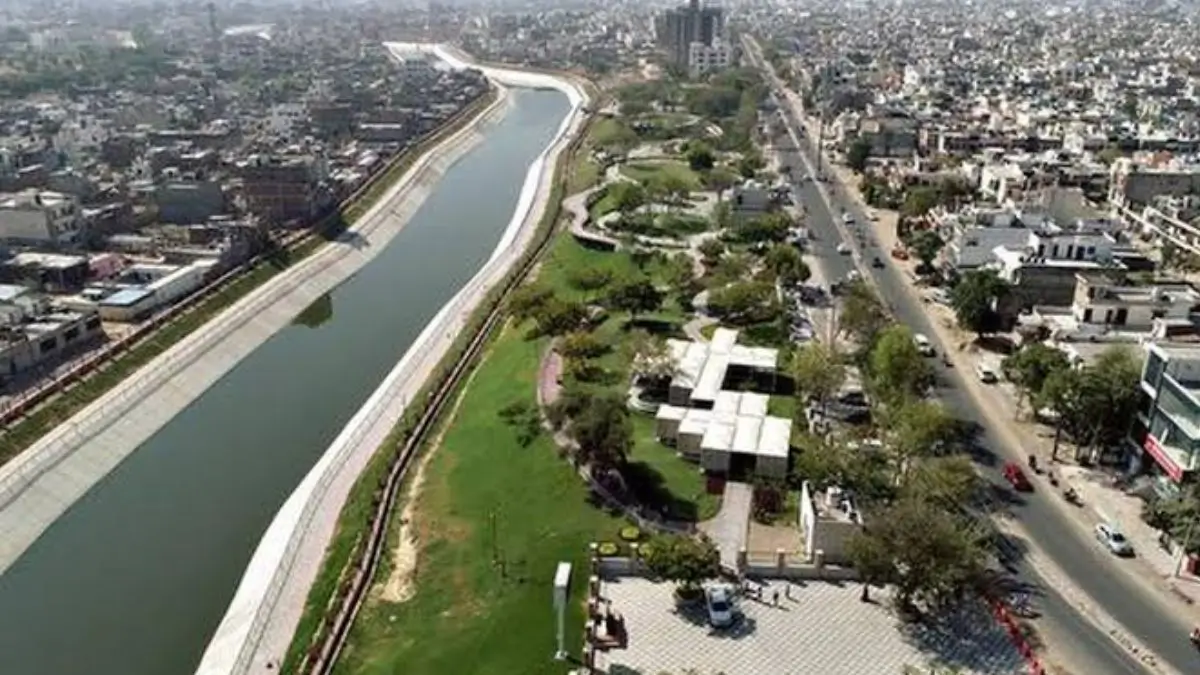
An Overview of Saharanpur District
Saharanpur district spans an area of 3,860 square kilometers (1,490 square miles) and had a population of 3,466,382 as per the 2011 census. With a population density of approximately 900 persons per square kilometer (2,300 per square mile), it is a significant region in Uttar Pradesh, known for its cultural diversity and strategic location near the Shivalik foothills.


 Rivers of Jaipur: Complete List of Major...
 Bihar Student Credit Card Scheme (BSCC):...
 Which Is the Only National Flag in the W...

