Uttar Pradesh, often abbreviated as UP, is one of India’s most populous and culturally rich states. Covering an area of 240,928 square kilometers, it is the fourth-largest state by area and the most populous one in the country. As per the 2011 census, Uttar Pradesh had a population of 199,812,341, accounting for about 16.5% of India’s total population.
Historical Background of Uttar Pradesh
Uttar Pradesh was known as the North-Western Provinces during the British colonial era. In 1877, it was renamed the North-Western Provinces and Oudh. By 1902, the name changed to the United Provinces of Agra and Oudh. In 1937, it was simplified to the United Provinces. After India gained independence, the state was renamed Uttar Pradesh.
Administrative Structure of Uttar Pradesh
Uttar Pradesh is divided into 75 districts, organized into 18 divisions. The state also has 351 tehsils (administrative divisions) and 17 municipal corporations. Lakhimpur Kheri is the largest district by area, covering 7,680 square kilometers, while Hapur is the smallest, spanning only 660 square kilometers.
Geographical Extremes
- Easternmost District: Ballia
- Westernmost District: Shamli
- Northernmost District: Saharanpur
- Southernmost District: Sonbhadra
Slum Population in Uttar Pradesh
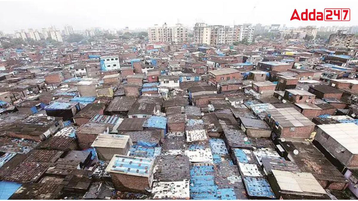
Despite its rich cultural heritage and economic significance, Uttar Pradesh also has a significant slum population. Among the districts, Meerut stands out for having the highest slum population in the state.
The District of Uttar Pradesh with Highest Slum Population
According to the 2011 census, Meerut has a total population of 3,443,689. Approximately 42% of this population resides in slum areas, making it the district with the largest slum population in Uttar Pradesh. This substantial percentage highlights the socio-economic challenges faced by a significant portion of Meerut’s residents.


 Which Sea is known as the Lake of Tiberi...
 Which is the Longest River of Kerala? Ch...
 Which City is known as the Seafood Capit...


