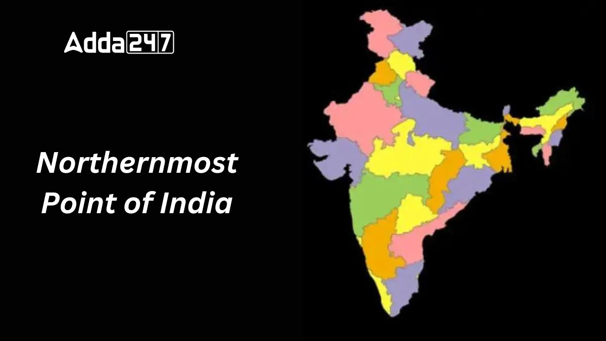
India, with its 28 states and 8 Union territories, is a country of diverse cultures, languages, and traditions. This diversity extends from the eastern to the western borders and from the northern to the southern extremities. While many are familiar with India’s geographic diversity, few might know about the northernmost point of the country. This article delves into the specifics of India’s northernmost point.
India’s Geographic Extremes
India’s geographical diversity is marked by four extremities, each representing the farthest point in a particular direction. These points are:
- Northernmost Point: Indira Col
- Southernmost Point: Indira Point
- Westernmost Point: Guhar Moti
- Easternmost Point: Kibithu
These points define the boundaries of India and are significant landmarks in the country’s geography.
The Northernmost Point of India
Location
Indira Col is the northernmost point of India, located in the Siachen Muztagh in the Karakoram Range. This point lies at a significant altitude, marking the extreme northern boundary of the country.
Elevation
Indira Col is situated at an impressive height of 5,764 meters (18,911 feet) above sea level. This high-altitude point is a notable geographic feature of the Karakoram Range.
Significance
The Karakoram Range features two distinct cols: the Eastern and Western Cols. The Eastern Col, named Indira Col, was designated in 1912 by British surveyor Bullock Workman. It stands as a significant landmark for mountaineers and geographers alike.
Distance from the Southernmost Point
The distance from Indira Col, the northernmost point, to Indira Point, the southernmost point of India, is approximately 3,214 kilometers. This vast distance showcases the expansive geographic diversity of India. Similarly, the distance from the Rann of Kutch in the west to Arunachal Pradesh in the east is about 2,933 kilometers.


 Which Country is known as the Land of Mo...
 Which Languages is known as the Mother o...
 Which Country is known as the Highest Pr...


