
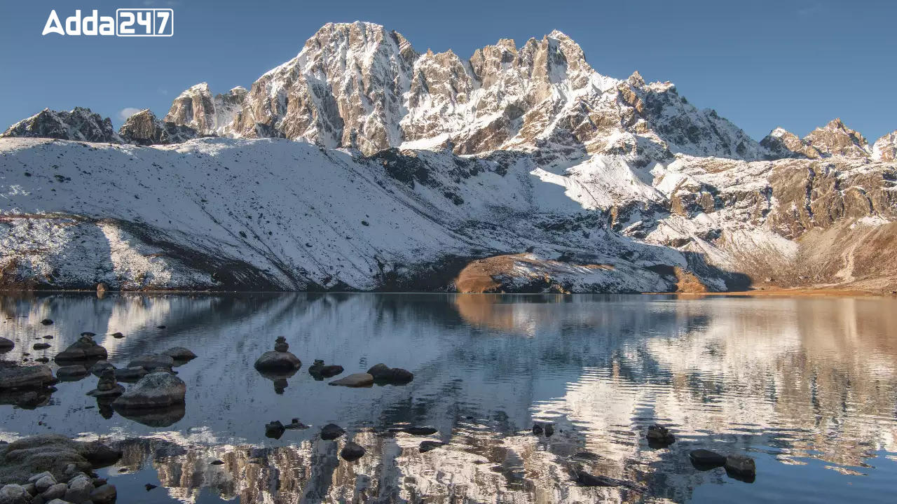
The Himalayan Mountains, known as the “Third Pole” for their vast glaciers, are experiencing significant changes due to global climate shifts. Glacial retreat leads to the formation and enlargement of lakes, posing risks like Glacial Lake Outburst Floods (GLOFs). Monitoring these changes is challenging but essential for understanding environmental impacts and managing risks.
Satellite Analysis Findings
Extent of Expansion: Satellite data spanning over three decades reveal notable expansions in glacial lakes. Out of 2,431 lakes identified, 676 have expanded, with 89% showing more than a twofold increase.
Regional Distribution: Among the expanding lakes, 130 are within India, with varying distributions across the Indus, Ganga, and Brahmaputra River basins.
Elevation Trends: Analysis based on elevation indicates that a significant number of expanding lakes are situated between 4,000 to 5,000 meters and above 5,000 meters.
Categorization of Lakes: Glacial lakes are categorized by their formation process, with the majority of expanding lakes being Moraine-dammed, followed by Erosion, and others. Ice-dammed lakes show minimal expansion.
Case Study: Ghepang Ghat Lake: The Ghepang Ghat glacial lake in the Indus River Basin exemplifies significant expansion, with a 178% increase in size over three decades, emphasizing the ongoing changes in these environments.
Implications and Management
Long-term satellite analysis aids in understanding glacial lake dynamics, essential for environmental assessment and developing strategies for GLOF risk management and climate change adaptation in glacial regions.

 Indian Army and Punit Balan Group Collab...
 India Renews Agreement to Train 1500 Ban...
 MAHE Confers Honorary Doctorate on K.V. ...
