

The Geological Survey of India Training Institute (GSITI), located in Hyderabad, recently forged a significant collaboration with the Indian Space Research Organisation (ISRO), headquartered in Bengaluru. This momentous partnership was sealed through a Memorandum of Understanding (MoU) signed on September 11, marking the initiation of a five-year partnership under the National Natural Resources Management System (NNRMS) programme. The MoU signing event was attended by key representatives from both organizations, emphasizing the commitment to enhancing expertise in critical areas.
The Scope of the Project
The overarching aim of this collaborative project is to provide comprehensive training programs that bolster capacity building in the fields of mineral resources and disaster management, all under the umbrella of the (National Natural Resources Management System) NNRMS programme. The project’s core objectives are centered around the development of skilled human resources capable of addressing critical challenges. Some of the key areas of focus within this project include:
1. Application of Digital Image Processing and GIS in Mineral Exploration
Harnessing the power of digital image processing and geographic information systems (GIS) is vital for efficient mineral exploration. The partnership between GSITI and ISRO will facilitate training programs in this domain, equipping participants with the knowledge and tools to leverage these technologies for resource identification and management.
2. Advanced Remote Sensing Techniques in Mineral Exploration
Remote sensing techniques play a pivotal role in the identification and evaluation of mineral resources. The collaborative effort will provide training on advanced remote sensing methods, enabling participants to use cutting-edge technologies for enhanced mineral exploration.
3. Applications of Geo-informatics for Disaster Management
Geo-informatics, coupled with remote sensing and GIS, has become indispensable in disaster management. This project will deliver training programs designed to enhance the capabilities of individuals and organizations involved in disaster management. The emphasis will be on leveraging geo-informatics for improved disaster preparedness, response, and recovery efforts.
Beneficiaries and Training Programs
The PGRS Division at GSITI, Hyderabad, is set to lead this initiative by organizing a total of 15 training programs over the course of the next five years. These programs will cater to a diverse group of approximately 300 participants, including representatives from Central and State Government Departments, Public Sector Undertakings (PSUs), faculty members, and research scholars from academic institutions. The wide-ranging scope of the training programs ensures that a broad spectrum of stakeholders will benefit from the expertise and knowledge exchange facilitated by this collaboration between GSITI and ISRO.
Key takeaways for competitive examinations
- Deputy Director General & Head Mission-V, on behalf of GSITI: Dr. Mathew Joseph,
- Director of the Earth Observation Applications & Disaster Management Support Programme Office (EDPO), representing ISRO: Dr. J.V. Thomas
![]()


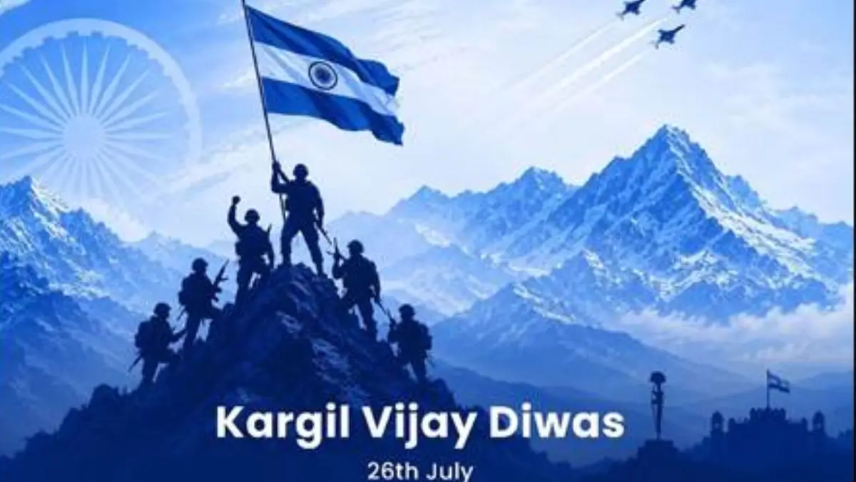 Kargil Vijay Diwas 2026: Honouring India...
 Pralhad Joshi Takes Charge as Education ...
 Current Affairs Capsule PDF (25 July, 20...

