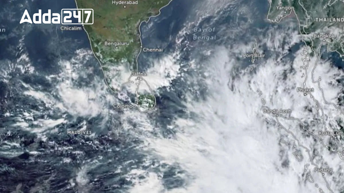
A potential cyclone named ‘Fengal,’ suggested by Saudi Arabia, is forming in the Bay of Bengal, according to the India Meteorological Department (IMD). The system, originating as a cyclonic circulation on November 21 near the South Andaman Sea, is likely to evolve into a Low Pressure Area (LPA) by November 23 and intensify into a depression by November 24. This comes on the heels of Cyclone Dana, which severely impacted Odisha in October 2024.
Cyclone Fengal Development Path
Formation and Intensification
A cyclonic circulation developed over the South Andaman Sea on November 21. It is expected to form an LPA by November 23 and intensify into a depression by November 24. By November 25, it may further strengthen into a deep depression or a cyclonic storm, with varying predictions on its peak intensity.
Movement and Landfall Projections
-
- IMD GFS: Indicates a depression evolving into a cyclonic storm and weakening before reaching Tamil Nadu by November 27.
- NCEP GFS: Projects a severe cyclonic storm crossing Tamil Nadu as a weakening system by November 27.
- ECMWF: Suggests a less intense scenario, with the system crossing Tamil Nadu as a depression by November 26.
Rainfall and Wind Forecast
November 21–24: Light to moderate rainfall in Andaman–Nicobar Islands, with isolated heavy rain in Nicobar.
November 25–27: Heavy to very heavy rainfall in southern Tamil Nadu. Isolated heavy rainfall likely in Rayalaseema, Coastal Andhra Pradesh, and Kerala. Gusty winds are expected along affected areas.
Historical Context and Current Implications
Cyclone Fengal follows Cyclone Dana, which hit Odisha on October 25, causing widespread damage. Unlike Dana, Fengal is predicted to move towards the northern coast of Sri Lanka or southern Tamil Nadu, marking a shift in typical Bay of Bengal cyclone trajectories, which often target Andhra Pradesh, West Bengal, and Odisha in November.


 Karnataka’s Move to Safeguard Gig Work...
 Bengaluru Police Introduce AI Multilingu...
 West Bengal Records Highest-Ever Poll Pa...


