

In the context of rising cross-border tensions and recent military responses such as Operation Sindoor, it’s essential to revisit the geostrategic importance of India’s border with Pakistan. This international boundary is not only significant from a defence standpoint but also a matter of national security and regional stability.
The India-Pakistan border, officially known as the International Border (IB), extends from the Union Territory of Jammu and Kashmir in the north to Gujarat in the west. Stretching over 3,323 kilometres, it is one of the most sensitive and heavily guarded borders in the world.
Introduction
Since 1947, India and Pakistan have shared a turbulent border marked by wars, infiltration attempts, and ongoing security concerns. Several Indian states and union territories directly share land boundaries with Pakistan. These regions are of immense strategic and historical significance.
The India-Pakistan border is also famous for being visible from space at night, owing to over 150,000 floodlights installed across approximately 50,000 poles, making it one of the world’s most illuminated boundaries.
Key Facts: India-Pakistan Border Summary
| State/Union Territory | Border Length (in km) |
|---|---|
| Jammu and Kashmir (UT) | 1,222 km |
| Rajasthan | 1,170 km |
| Gujarat | 506 km |
| Punjab | 425 km |
| Total | 3,323 km |
States and Union Territories Sharing Borders with Pakistan
Jammu and Kashmir (Union Territory)
- Location: Northern part of India in the Karakoram and western Himalayas
- Borders: Shares boundary with Pakistan to the southwest and northwest; also bordered by China to the northeast and east.
- Area: 222,236 sq. km
- Literacy Rate: 68.74%
- Capital: Srinagar (summer), Jammu (winter)
- Languages Spoken: Urdu, Dogri, Kashmiri, Pahari, Ladakhi, Gojri, Balti
- Significance: Most conflict-prone and strategically important region. The site of multiple conflicts since 1947, and frequently in the news for security developments.
Rajasthan
- Location: Northwestern India
- Borders: Bordered by Pakistan’s Punjab and Sindh provinces to the west and northwest.
- Area: 342,239 sq. km (largest state in India by area)
- Literacy Rate: 66.11%
- Capital: Jaipur (also known as the Pink City)
- Languages Spoken: Hindi, Marwari, Jaipuri, Mewari, Malvi
- Climate: Ranges from arid to semi-humid
- Significance: The Thar Desert lies in this region, and the border is frequently monitored due to past infiltration attempts and smuggling routes.
Gujarat
- Location: Western coast of India along the Arabian Sea
- Borders: Shares its northwestern border with Pakistan’s Sindh province
- Area: 196,024 sq. km
- Literacy Rate: 79.31%
- Capital: Gandhinagar
- Languages Spoken: Gujarati, Hindi, English
- Special Feature: Home to the Rann of Kutch, which is a unique salt marsh and often under surveillance due to its proximity to Pakistan.
- Historical Note: Formed in 1960 after the bifurcation of Bombay State.
Punjab
- Location: Northwestern India
- Borders: Shares boundary with Pakistan to the west
- Area: 50,362 sq. km
- Literacy Rate: 75.84%
- Capital: Chandigarh (shared with Haryana)
- Languages Spoken: Punjabi, Hindi, Urdu, English
- Significance: The Wagah Border near Amritsar is the most symbolic and ceremonial crossing point between India and Pakistan. Regionally divided into Majha, Doaba, and Malwa.
- Name Origin: Derived from “Panj-ab”, meaning “land of five rivers” — Beas, Chenab, Jhelum, Ravi, Sutlej
Ladakh (Union Territory)
- Location: Northernmost region of India along the upper Indus River Valley
- Borders:
- West: Pakistan
- East & Northeast: China
- South: Himachal Pradesh
- Area: 59,000 sq. km (approx.)
- Capital: Leh (administrative HQ of Leh district), Kargil (HQ of Kargil district)
- Historical Context: Became a Union Territory on October 31, 2019, after being separated from Jammu and Kashmir.
- Literacy Rate: Over 97% (first in India to be declared functionally literate under ULLAS program)
- Significance: Due to its high-altitude terrain, Ladakh holds significant military and strategic value in India’s defence posture.


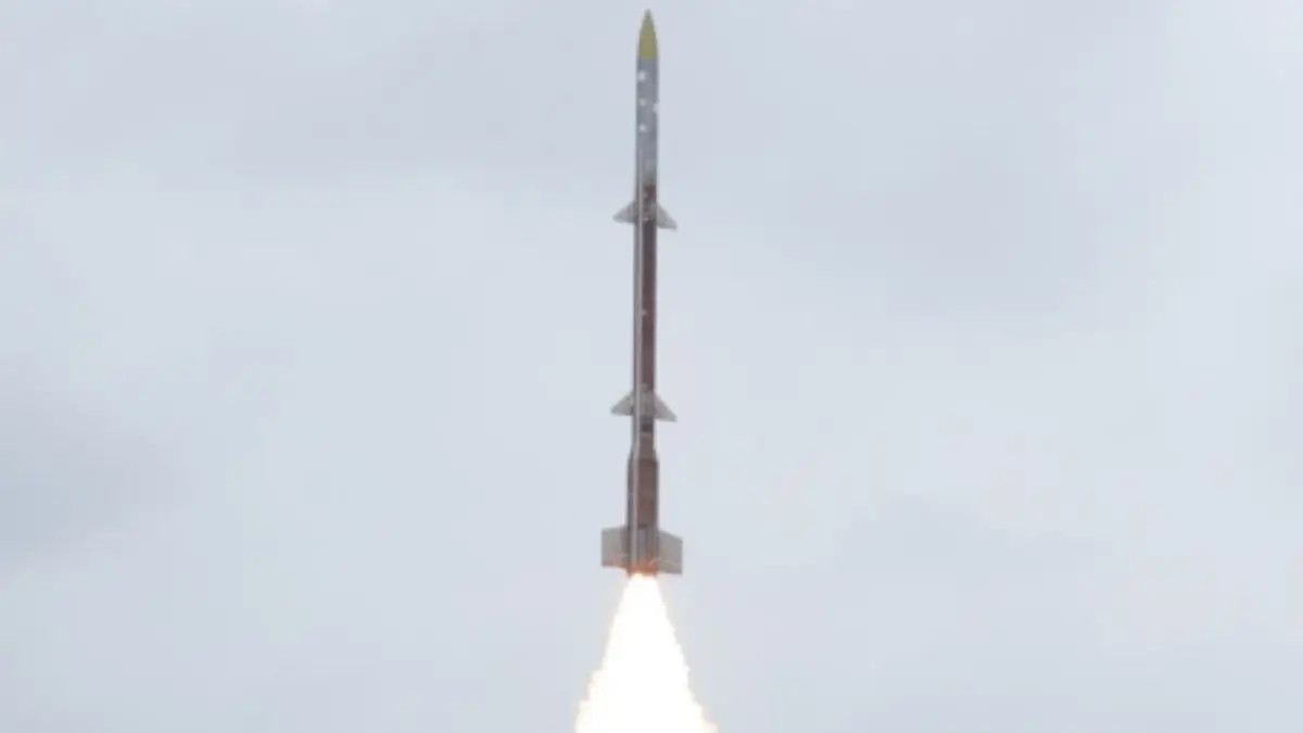 DRDO Successfully Conducts Maiden Flight...
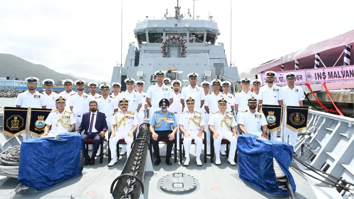 Indian Navy Commissions INS Malvan Under...
 Samudra Pradakshina: India's First Tri-S...

