

Introduction: A New Era of Digital Addressing in India
The Indian government has launched an innovative initiative called DIGIPIN, aimed at revolutionizing how locations are identified across the country. Designed by India Post, this digital addressing system provides a unique alphanumeric code for precise identification of any location in India—urban or rural, land or sea.
From improving e-commerce logistics to strengthening emergency response systems, DIGIPIN holds the potential to transform both public and private sector operations by offering pinpoint geographic accuracy.
What is DIGIPIN?
The Digital Code for Every 4×4 Meter Square
DIGIPIN stands for Digital PIN, and it is a ten-character alphanumeric code assigned to a specific 4-meter by 4-meter grid square on Indian territory. Whether it’s a building in a metro city, a house in a village, or even a spot in the ocean, every location can be uniquely identified using this code.
For example, the Jagran New Media office in Noida has the DIGIPIN 39J-5JP-7J8L.
Who Developed DIGIPIN?
DIGIPIN was developed by the Department of Posts in collaboration with:
- National Remote Sensing Center (NRSC) – under ISRO (Indian Space Research Organization)
- Indian Institute of Technology (IIT) Hyderabad
This collaboration combines expertise in satellite imagery, remote sensing, and digital mapping.
Why Was DIGIPIN Introduced?
The purpose of introducing DIGIPIN goes beyond just mailing letters. It’s a part of India’s broader digital transformation agenda and aims to:
- Simplify address management
- Improve logistics and last-mile delivery
- Support emergency services like police, ambulance, and fire departments
- Help citizens in rural or address-less regions access formal services
- Enable accurate location-based services even in forests, deserts, and coastal zones
By providing structured geographic identifiers, DIGIPIN aims to resolve problems related to unstructured or changing addresses, especially common in developing nations.
Key Features of DIGIPIN
1. Grid-Based and Geo-Coded
Each DIGIPIN is based on a grid of 4×4 square meters, meaning no two codes are the same. The code is directly linked to geographic coordinates, ensuring high precision.
2. Open-Source and Interoperable
The system is open-source and can be integrated into various public and private applications. From navigation apps to government databases, DIGIPIN can work seamlessly across platforms.
3. Privacy and Security First
Importantly, DIGIPIN does not store any personal information. Each code reflects only the location and not the owner or resident, ensuring data privacy and security.
4. Infrastructure-Free Deployment
Since DIGIPIN relies on satellite mapping and GPS, it doesn’t require physical infrastructure, making it cost-effective and scalable, even in remote areas.
How Accurate is DIGIPIN?
DIGIPIN’s accuracy depends largely on the GNSS (Global Navigation Satellite System) device or browser used to determine the location. However, even with standard smartphone GPS, the system is designed to offer a high degree of precision, often within a few meters.
Because the system is geo-coded, the DIGIPIN does not change over time—even if the surrounding area develops or transforms.
Applications of DIGIPIN in Real Life
DIGIPIN is expected to be a game-changer for several sectors:
- E-commerce delivery: Simplifies logistics for platforms like Amazon and Flipkart in hard-to-reach areas.
- Government services: Enables accurate identification for land records, census surveys, and welfare schemes.
- Emergency response: Faster location identification for ambulance, police, and fire services.
- Tourism & outdoor services: Helps trekkers, rescue teams, and travelers locate precise points in mountains, forests, or beaches.
- Urban Planning: Helps civic bodies manage resources more efficiently in dense or irregularly mapped areas.
How to Check Your DIGIPIN Online – Step-by-Step Guide
Finding your DIGIPIN is easy and takes just a few seconds. Here’s a complete guide:
Step 1: Visit the Official DIGIPIN Portal
Open your web browser and go to the official India Post DIGIPIN website: https://dac.indiapost.gov.in/mydigipin/home
Step 2: Enable Location Access
Make sure your browser’s location services are enabled. If prompted, click “Allow” to grant the site access to your device’s location.
Step 3: Accept the Privacy Terms
Click “I Consent” to agree with the DIGIPIN privacy policy, which ensures no personal data is being stored.
Step 4: Get Your DIGIPIN Code
After granting permission, your unique DIGIPIN will appear on the bottom right corner of the screen.
Bonus: Check DIGIPIN for Other Locations
If you have latitude and longitude coordinates, you can also input them to find the corresponding DIGIPIN. This feature works in reverse too—you can decode a DIGIPIN to find its exact location on the map.


 What is Brachybacterium netajii? Discove...
 What is Toshakhana? How Are Government G...
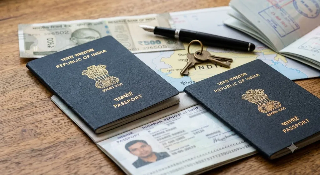 Indian Passport Fee Hike from July 1, 20...

